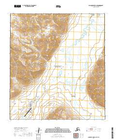
2019 Map of Chandler Lake A-3 NW
USGS Topo · Published 2019About this map
Anaktuvuk Pass serves as the primary focal point of this Brooks Range survey, situated at a critical continental divide. The community is oriented around the Anaktuvuk Pass Airport and connected by local thoroughfares including Main Street and Success Road. The surrounding landscape is defined by its transition between protected wilderness areas, with a significant portion of the terrain falling within Gates of the Arctic National Park and the John Wild and Scenic River corridor. The hydrology of the area is complex, featuring the north-flowing Anaktuvuk River and south-flowing John River. Notable peaks such as Ingstad Mtn and Napakualuit Mtn flank the pass, while numerous alpine water bodies like Napakualuit Lake and Cache Lake dot the valleys. The map documents the high-latitude infrastructure of the Anaktuvuk Pass Highway as it navigates this remote interior passage.
Find a feature on this map
25 named features on this map. Tap any name to fly to it.
Don’t see what you’re looking for? This feature index may not catch every label — zoom into the map to look around manually.
Map Details
Editions of this 2019 Chandler Lake A-3 NW Map
This is the sole edition of this map. No revisions or reprints were ever made.
Other maps of this area

1951 · Chandler Lake
USGS Topo · 1:250,000

1956 · Chandler Lake
USGS Topo · 1:250,000

1964 · Chandler Lake
USGS Topo · 1:250,000

1971 · Chandler Lake A-3
USGS Topo · 1:63,360
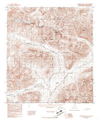
1986 · Chandler Lake A-4
USGS Topo · 1:63,360
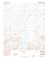
1987 · Chandler Lake B-3
USGS Topo · 1:63,360
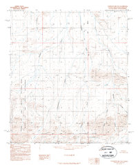
1987 · Chandler Lake B-4
USGS Topo · 1:63,360
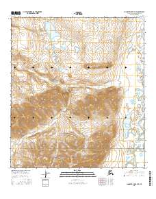
2016 · Chandler Lake B-3 SW
USGS Topo · 1:25,000
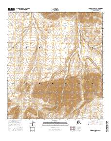
2016 · Chandler Lake B-4 SE
USGS Topo · 1:25,000
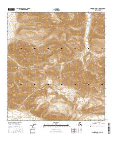
2016 · Chandler Lake A-3 NE
USGS Topo · 1:25,000