
1971 Map of Chandler Lake A-3
USGS Topo · Published 1973About this map
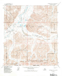
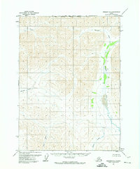
Anaktuvuk Pass serves as the central focal point of this 1971 study, marking a significant corridor through the Brooks Range where the Continental Divide dictates the flow of Arctic waters. The landscape is defined by the braided path of the Anaktuvuk River flowing north and the headwaters of the John River pushing south. This high mountain pass includes a critical Landing Strip and a Winter Road, highlighting the isolation and specialized transportation required in this part of Alaska.
Find a feature on this map
23 named features on this map. Tap any name to fly to it.
Don’t see what you’re looking for? This feature index may not catch every label — zoom into the map to look around manually.
Map Details
Editions of this 1971 Chandler Lake A-3 Map
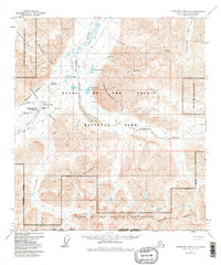
3 editions found
Other maps of this area

1951 · Chandler Lake
USGS Topo · 1:250,000

1951 · Wiseman
USGS Topo · 1:250,000

1956 · Wiseman
USGS Topo · 1:250,000

1956 · Chandler Lake
USGS Topo · 1:250,000

1964 · Wiseman
USGS Topo · 1:250,000

1964 · Chandler Lake
USGS Topo · 1:250,000
1971 · Chandler Lake A-2
USGS Topo · 1:63,360
1971 · Chandler Lake B-2
USGS Topo · 1:63,360
1971 · Wiseman D-4
USGS Topo · 1:63,360
1971 · Wiseman D-3
USGS Topo · 1:63,360