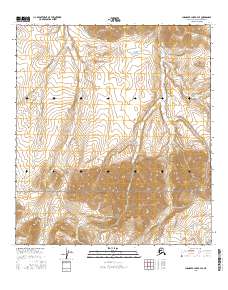
2016 Map of Chandler Lake B-4 SE
USGS Topo · Published 2016About this map
Gates of the Arctic National Park encompasses the southern portion of this Brooks Range landscape, where the headwaters of several drainage systems originate among the high ridges. The hydrologic pattern is defined by northward-flowing streams including Tiglukpuk Cr and Firestone Cr, which carve through the steep topography of the North Slope. These watercourses, along with Confusion Cr and Skimo Cr, illustrate the complex drainage network required to move snowmelt and seasonal rains from the Arctic divide. The lack of man-made structures or improved roads underscores the remote character of this wilderness area, which remains primarily under federal management for conservation and traditional land use.
Find a feature on this map
12 named features on this map. Tap any name to fly to it.
Don’t see what you’re looking for? This feature index may not catch every label — zoom into the map to look around manually.
Map Details
Editions of this 2016 Chandler Lake B-4 SE Map
This is the sole edition of this map. No revisions or reprints were ever made.
Other maps of this area

1951 · Chandler Lake
USGS Topo · 1:250,000

1956 · Chandler Lake
USGS Topo · 1:250,000

1964 · Chandler Lake
USGS Topo · 1:250,000

1971 · Chandler Lake A-3
USGS Topo · 1:63,360
1986 · Chandler Lake A-4
USGS Topo · 1:63,360
1987 · Chandler Lake B-3
USGS Topo · 1:63,360
1987 · Chandler Lake B-4
USGS Topo · 1:63,360
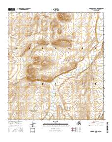
2016 · Chandler Lake B-4 NW
USGS Topo · 1:25,000
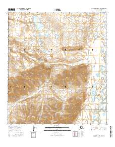
2016 · Chandler Lake B-3 SW
USGS Topo · 1:25,000
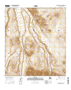
2016 · Chandler Lake B-4 NE
USGS Topo · 1:25,000