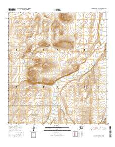
2016 Map of Chandler Lake B-4 NW
USGS Topo · Published 2016About this map
Gates of the Arctic National Park encompasses the southern portion of this landscape, where the high latitude terrain of the North Slope begins its transition into federally protected wilderness. The drainage patterns of the Siksikpuk River dominate the central valley, carving a path through the hills alongside smaller tributaries like Autumn Cr and Encampment Cr. These watercourses represent the primary navigational and ecological features of this remote Alaskan interior, showing the natural state of the Brooks Range foothills in the early twenty-first century. The map is primarily a study of topography and hydrography, capturing a region defined by its lack of permanent human infrastructure and its preservation of a vast, roadless environment.
Find a feature on this map
8 named features on this map. Tap any name to fly to it.
Don’t see what you’re looking for? This feature index may not catch every label — zoom into the map to look around manually.
Map Details
Editions of this 2016 Chandler Lake B-4 NW Map
This is the sole edition of this map. No revisions or reprints were ever made.
Other maps of this area

1951 · Chandler Lake
USGS Topo · 1:250,000

1956 · Chandler Lake
USGS Topo · 1:250,000

1964 · Chandler Lake
USGS Topo · 1:250,000
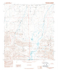
1987 · Chandler Lake B-5
USGS Topo · 1:63,360
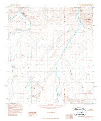
1987 · Chandler Lake C-4
USGS Topo · 1:63,360
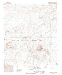
1987 · Chandler Lake C-5
USGS Topo · 1:63,360
1987 · Chandler Lake B-4
USGS Topo · 1:63,360
2016 · Chandler Lake C-4 SW
USGS Topo · 1:25,000
2016 · Chandler Lake B-4 NE
USGS Topo · 1:25,000
2016 · Chandler Lake B-4 SE
USGS Topo · 1:25,000