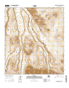
2016 Map of Chandler Lake B-4 NE
USGS Topo · Published 2016About this map
The Siksikpuk River winds through the northwestern corner of this territory, defining a landscape shaped by glacial and alluvial drainage in the North Slope region. This 2016 survey highlights a complex network of northern waterways, where Tiglukpuk Creek serves as a primary drainage corridor across the central and eastern sections. The convergence of numerous named tributaries, including the winding Encampment Cr and Confusion Cr, suggests a watershed that fluctuates significantly with seasonal cycles. This modern topographic record, produced by the U.S. Geological Survey, provides an exacting look at the land's elevation and water systems within the Public Land Survey System divisions of t11s r1w, t11s r1e, t12s r1w, and t12s r1e.
Find a feature on this map
10 named features on this map. Tap any name to fly to it.
Don’t see what you’re looking for? This feature index may not catch every label — zoom into the map to look around manually.
Map Details
Editions of this 2016 Chandler Lake B-4 NE Map
This is the sole edition of this map. No revisions or reprints were ever made.
Other maps of this area

1951 · Chandler Lake
USGS Topo · 1:250,000

1956 · Chandler Lake
USGS Topo · 1:250,000

1964 · Chandler Lake
USGS Topo · 1:250,000
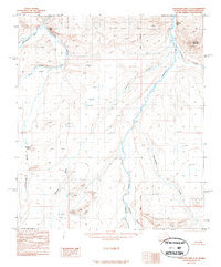
1987 · Chandler Lake C-4
USGS Topo · 1:63,360
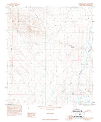
1987 · Chandler Lake C-3
USGS Topo · 1:63,360
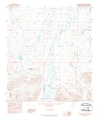
1987 · Chandler Lake B-3
USGS Topo · 1:63,360
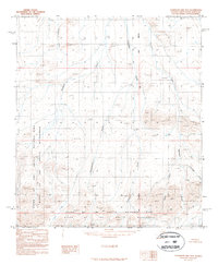
1987 · Chandler Lake B-4
USGS Topo · 1:63,360
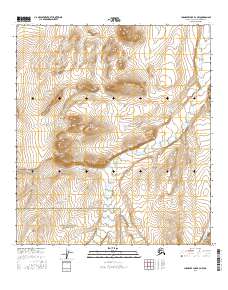
2016 · Chandler Lake B-4 NW
USGS Topo · 1:25,000
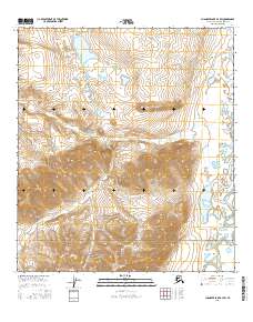
2016 · Chandler Lake B-3 SW
USGS Topo · 1:25,000
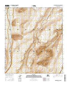
2016 · Chandler Lake C-4 SW
USGS Topo · 1:25,000