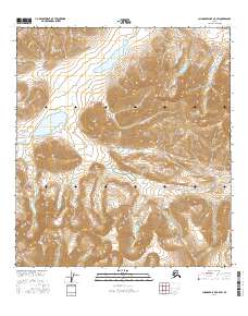
2016 Map of Chandler Lake A-5 SW
USGS Topo · Published 2016About this map
Gates Of The Arctic National Park encompasses the entirety of this 2016 topographical survey, situated in the remote northern reaches of the Brooks Range. The landscape is dominated by the high-elevation peaks of the Endicott Mountains, which create a complex system of ridgelines and alpine drainage basins. In the northern section, Amiloyak Lake sits within a broad glacial valley, while the southwest is marked by the significant waters of Agiak Lake.
Find a feature on this map
12 named features on this map. Tap any name to fly to it.
Don’t see what you’re looking for? This feature index may not catch every label — zoom into the map to look around manually.
Map Details
Editions of this 2016 Chandler Lake A-5 SW Map
This is the sole edition of this map. No revisions or reprints were ever made.
Other maps of this area

1951 · Survey Pass
USGS Topo · 1:250,000

1951 · Chandler Lake
USGS Topo · 1:250,000

1951 · Killik River
USGS Topo · 1:250,000

1951 · Wiseman
USGS Topo · 1:250,000

1956 · Wiseman
USGS Topo · 1:250,000

1956 · Survey Pass
USGS Topo · 1:250,000

1956 · Chandler Lake
USGS Topo · 1:250,000

1956 · Killik River
USGS Topo · 1:250,000

1964 · Survey Pass
USGS Topo · 1:250,000

1964 · Wiseman
USGS Topo · 1:250,000