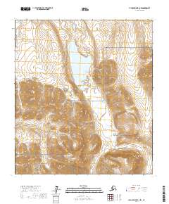
2017 Map of Chandler Lake B-2 SW
USGS Topo · Published 2017About this map
Shainin Lake occupies a central position in this remote section of the Brooks Range, serving as a significant hydrologic focal point where Alapah Cr enters from the north and continues its course to the south. The terrain is defined by dramatic elevation changes, notably anchored by the summit of Mt Wachsmuth to the east. This 2017 survey delineates the management boundary between Gates of the Arctic National Park and the Gates of the Arctic National Preserve, illustrating how administrative lines bisect the drainage basins of the Kanayut River and Ikniuvik Cr. The drainage patterns, including the winding Kanayut Cr, reflect a landscape shaped by glacial action and high-latitude erosion, providing a detailed look at the topographic character of the North Slope Borough.
Find a feature on this map
13 named features on this map. Tap any name to fly to it.
Don’t see what you’re looking for? This feature index may not catch every label — zoom into the map to look around manually.
Map Details
Editions of this 2017 Chandler Lake B-2 SW Map
This is the sole edition of this map. No revisions or reprints were ever made.
Other maps of this area

1951 · Chandler Lake
USGS Topo · 1:250,000

1956 · Chandler Lake
USGS Topo · 1:250,000

1964 · Chandler Lake
USGS Topo · 1:250,000
1971 · Chandler Lake A-2
USGS Topo · 1:63,360

1971 · Chandler Lake A-3
USGS Topo · 1:63,360
1971 · Chandler Lake B-2
USGS Topo · 1:63,360
1987 · Chandler Lake B-3
USGS Topo · 1:63,360
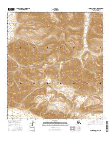
2016 · Chandler Lake A-3 NE
USGS Topo · 1:25,000
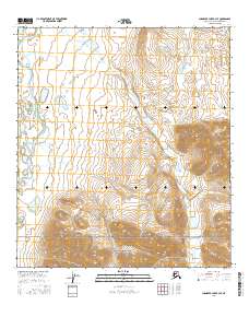
2016 · Chandler Lake B-3 SE
USGS Topo · 1:25,000
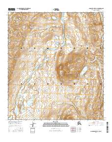
2016 · Chandler Lake B-3 NE
USGS Topo · 1:25,000