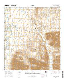
2016 Map of Chandler Lake B-3 SE
USGS Topo · Published 2016About this map
Gates of the Arctic National Park encompasses the southern portion of this landscape, marking a protected wilderness area in the Brooks Range. The Anaktuvuk River flows through the northwestern corner, serving as a primary drainage for the surrounding tundra and mountain slopes. This 2016 survey illustrates the intricate network of watercourses that define the region, including Itikmalakpak Cr and Tulugak Cr, which feed into larger systems like the Tulugak Lake.
Find a feature on this map
13 named features on this map. Tap any name to fly to it.
Don’t see what you’re looking for? This feature index may not catch every label — zoom into the map to look around manually.
Map Details
Editions of this 2016 Chandler Lake B-3 SE Map
This is the sole edition of this map. No revisions or reprints were ever made.
Other maps of this area

1951 · Chandler Lake
USGS Topo · 1:250,000

1956 · Chandler Lake
USGS Topo · 1:250,000

1964 · Chandler Lake
USGS Topo · 1:250,000
1971 · Chandler Lake A-2
USGS Topo · 1:63,360

1971 · Chandler Lake A-3
USGS Topo · 1:63,360
1971 · Chandler Lake B-2
USGS Topo · 1:63,360
1987 · Chandler Lake B-3
USGS Topo · 1:63,360
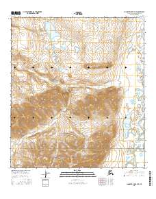
2016 · Chandler Lake B-3 SW
USGS Topo · 1:25,000
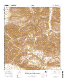
2016 · Chandler Lake A-3 NE
USGS Topo · 1:25,000
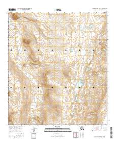
2016 · Chandler Lake B-3 NW
USGS Topo · 1:25,000