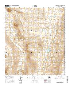
2016 Map of Chandler Lake B-3 NW
USGS Topo · Published 2016About this map
Natyakruak Cr flows southward through this North Slope landscape, defining a wide glacial valley marked by subtle elevation changes and numerous seasonal wetlands. The drainage pattern of Anayaknaurak Cr in the eastern portion of the sheet reveals a high-latitude environment where small watercourses and ponding dominate the terrain between northern ridges. This 2016 survey by the U.S. Geological Survey maps the intricate system of contours that define the interior of the North Slope Borough, providing a clear record of the watershed before shifting climate patterns or future resource exploration potentially alter these remote watercourses. While no permanent settlements are recorded, the detailed hydrography and township boundaries like t11s r2e and t12s r2e offer essential data for researchers and surveyors working in the Alaskan arctic.
Find a feature on this map
8 named features on this map. Tap any name to fly to it.
Don’t see what you’re looking for? This feature index may not catch every label — zoom into the map to look around manually.
Map Details
Editions of this 2016 Chandler Lake B-3 NW Map
This is the sole edition of this map. No revisions or reprints were ever made.
Other maps of this area

1951 · Chandler Lake
USGS Topo · 1:250,000

1956 · Chandler Lake
USGS Topo · 1:250,000

1964 · Chandler Lake
USGS Topo · 1:250,000
1987 · Chandler Lake C-4
USGS Topo · 1:63,360
1987 · Chandler Lake C-3
USGS Topo · 1:63,360
1987 · Chandler Lake B-3
USGS Topo · 1:63,360
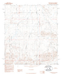
1987 · Chandler Lake B-4
USGS Topo · 1:63,360
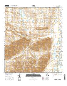
2016 · Chandler Lake B-3 SW
USGS Topo · 1:25,000
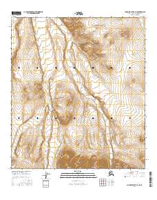
2016 · Chandler Lake B-4 NE
USGS Topo · 1:25,000
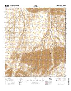
2016 · Chandler Lake B-4 SE
USGS Topo · 1:25,000