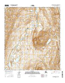
2016 Map of Chandler Lake B-3 NE
USGS Topo · Published 2016About this map
The Anaktuvuk River corridor anchors this remote landscape within the North Slope Borough, where the waterway meanders through a valley defined by significant relief and glacial features. To the east, Irgniqvik Lake sits at the base of a prominent landmass, drained by the short course of Irgniqvik Cr. The drainage patterns here are complex, with the Itikmalakpak Creek system and Haituk Cr feeding into the primary river valley from the south and west.
Find a feature on this map
12 named features on this map. Tap any name to fly to it.
Don’t see what you’re looking for? This feature index may not catch every label — zoom into the map to look around manually.
Map Details
Editions of this 2016 Chandler Lake B-3 NE Map
This is the sole edition of this map. No revisions or reprints were ever made.
Other maps of this area

1951 · Chandler Lake
USGS Topo · 1:250,000

1956 · Chandler Lake
USGS Topo · 1:250,000

1964 · Chandler Lake
USGS Topo · 1:250,000
1971 · Chandler Lake C-2
USGS Topo · 1:63,360
1971 · Chandler Lake B-2
USGS Topo · 1:63,360
1987 · Chandler Lake C-3
USGS Topo · 1:63,360
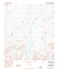
1987 · Chandler Lake B-3
USGS Topo · 1:63,360
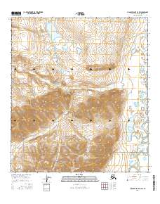
2016 · Chandler Lake B-3 SW
USGS Topo · 1:25,000
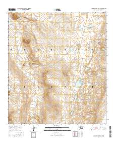
2016 · Chandler Lake B-3 NW
USGS Topo · 1:25,000
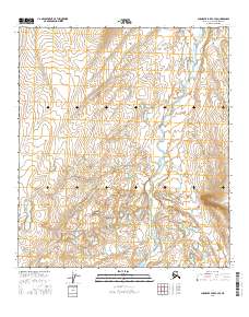
2016 · Chandler Lake C-3 SE
USGS Topo · 1:25,000