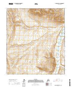
2017 Map of Chandler Lake C-2 SW
USGS Topo · Published 2017About this map
Kanayut River flows through this high-altitude landscape in the North Slope region, defining the drainage patterns across several townships. The terrain is characterized by dramatic elevation changes, most notably the prominent Table Top plateau that stands as a significant landmark in the northern portion of the survey. Unlike more developed regions, this map documents a wilderness environment shaped almost entirely by topography and water, with no established roads or permanent settlements recorded at the time of this 2017 study. Researchers will find the Public Land Survey System grids for t9s r4e, t9s r5e, t10s r4e, t10s r5e, t11s r4e, and t11s r5e, providing a precise framework for the undeveloped acreage near the Brooks Range foothills.
Find a feature on this map
8 named features on this map. Tap any name to fly to it.
Don’t see what you’re looking for? This feature index may not catch every label — zoom into the map to look around manually.
Map Details
Editions of this 2017 Chandler Lake C-2 SW Map
This is the sole edition of this map. No revisions or reprints were ever made.
Other maps of this area

1951 · Chandler Lake
USGS Topo · 1:250,000

1956 · Chandler Lake
USGS Topo · 1:250,000

1964 · Chandler Lake
USGS Topo · 1:250,000
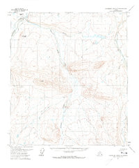
1971 · Chandler Lake C-2
USGS Topo · 1:63,360
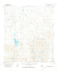
1971 · Chandler Lake B-2
USGS Topo · 1:63,360
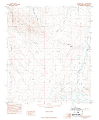
1987 · Chandler Lake C-3
USGS Topo · 1:63,360
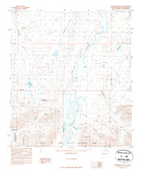
1987 · Chandler Lake B-3
USGS Topo · 1:63,360
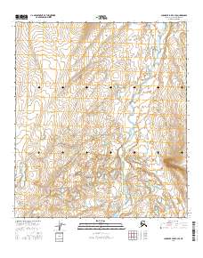
2016 · Chandler Lake C-3 SE
USGS Topo · 1:25,000
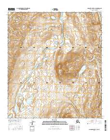
2016 · Chandler Lake B-3 NE
USGS Topo · 1:25,000
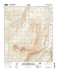
2016 · Chandler Lake C-3 NE
USGS Topo · 1:25,000