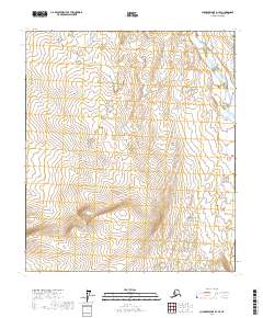
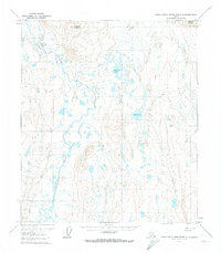
2017 Map of Chandler Lake D-1 SE
USGS Topo · Published 2017About this map
Itkillik River winds through the northeast corner of this remote North Slope landscape, serving as the primary geographic marker in a region defined by high-elevation tundra and significant relief. Surveyed by the U.S. Geological Survey, the area is partitioned by the Public Land Survey System, with boundaries for t6s r8e, t6s r9e, and several southern townships clearly delineated. The absence of roads or permanent structures reflects the wilderness character of this Brooks Range foothills section, where the natural drainage patterns of the river provide the only established corridor through the terrain. This document captures the topographical state of the region in the early 21st century, providing a baseline for environmental study and geographic research in the Arctic.
Find a feature on this map
7 named features on this map. Tap any name to fly to it.
Don’t see what you’re looking for? This feature index may not catch every label — zoom into the map to look around manually.
Map Details
Editions of this 2017 Chandler Lake D-1 SE Map
This is the sole edition of this map. No revisions or reprints were ever made.
Other maps of this area

1951 · Chandler Lake
USGS Topo · 1:250,000

1951 · Brooks
USGS Topo · 1:250,000

1956 · Philip Smith Mountains
USGS Topo · 1:250,000

1956 · Chandler Lake
USGS Topo · 1:250,000

1964 · Philip Smith Mountains
USGS Topo · 1:250,000

1964 · Chandler Lake
USGS Topo · 1:250,000
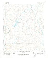
1971 · Chandler Lake D-1
USGS Topo · 1:63,360
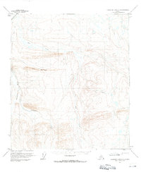
1971 · Chandler Lake C-1
USGS Topo · 1:63,360
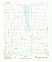
1971 · Philip Smith Mountains D-5
USGS Topo · 1:63,360
1971 · Philip Smith Mountains C-5
USGS Topo · 1:63,360