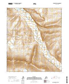
2017 Map of Chandler Lake D-2 NE
USGS Topo · Published 2017About this map
Nanushuk River dominates this landscape of the North Slope, winding through a corridor defined by significant elevation changes and the prominent Twin Bluffs. The terrain is marked by the intricate drainage patterns of the Arctic foothills, where the river's path is constrained by the rising landforms to the east and west. This 2017 survey details the remote topography across several townships, including t5s r5e and t6s r6e, illustrating the vast, unpopulated character of this region. The absence of roads or permanent settlements emphasizes the wilderness state of the river valley, a key environment for understanding the natural geography of Alaska’s interior north.
Find a feature on this map
6 named features on this map. Tap any name to fly to it.
Don’t see what you’re looking for? This feature index may not catch every label — zoom into the map to look around manually.
Map Details
Editions of this 2017 Chandler Lake D-2 NE Map
This is the sole edition of this map. No revisions or reprints were ever made.
Other maps of this area

1951 · Chandler Lake
USGS Topo · 1:250,000

1952 · Umiat
USGS Topo · 1:250,000

1956 · Chandler Lake
USGS Topo · 1:250,000

1956 · Umiat
USGS Topo · 1:250,000

1964 · Chandler Lake
USGS Topo · 1:250,000

1964 · Umiat
USGS Topo · 1:250,000
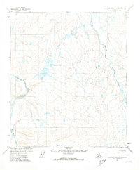
1971 · Chandler Lake D-1
USGS Topo · 1:63,360

1971 · Umiat A-2
USGS Topo · 1:63,360
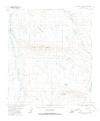
1971 · Chandler Lake D-2
USGS Topo · 1:63,360
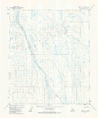
1971 · Umiat A-1
USGS Topo · 1:63,360