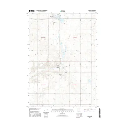
2016 Map of Chandler
USGS Topo · Published 2016About this map
Chandler and Lake Wilson anchor this agricultural landscape in Murray County, situated atop the Coteau des Prairies upland plateau. The map reveals a strictly gridded section-line road network, including Main Ave and Carlton Ave in the heart of Chandler. Genealogy and local history researchers will find several well-documented burial grounds, such as Hillside Cem overlooking the water to the north, and both Trinity Cem and Chandler Memorial Cem situated near the town center. The hydrology of the region is characterized by small glacial basins and prairie streams, notably Moon Lake and the meandering headwaters of Chanarambie Cr. Systematic drainage projects are evidenced by the presence of Judicial Ditch Number Fourteen, which reflects the early 20th-century efforts to transform the prairie into highly productive farmland.
Find a feature on this map
37 named features on this map. Tap any name to fly to it.
Don’t see what you’re looking for? This feature index may not catch every label — zoom into the map to look around manually.
Map Details
Editions of this 2016 Chandler Map
This is the sole edition of this map. No revisions or reprints were ever made.
Other maps of this area

1953 · Watertown
USGS Topo · 1:250,000

1953 · New Ulm
USGS Topo · 1:250,000

1954 · Fairmont
USGS Topo · 1:250,000

1955 · Sioux Falls
USGS Topo · 1:250,000

1957 · New Ulm
USGS Topo · 1:250,000

1958 · New Ulm
USGS Topo · 1:250,000

1958 · Sioux Falls
USGS Topo · 1:250,000

1958 · Fairmont
USGS Topo · 1:250,000

1958 · Watertown
USGS Topo · 1:250,000

1967 · New Ulm
USGS Topo · 1:250,000