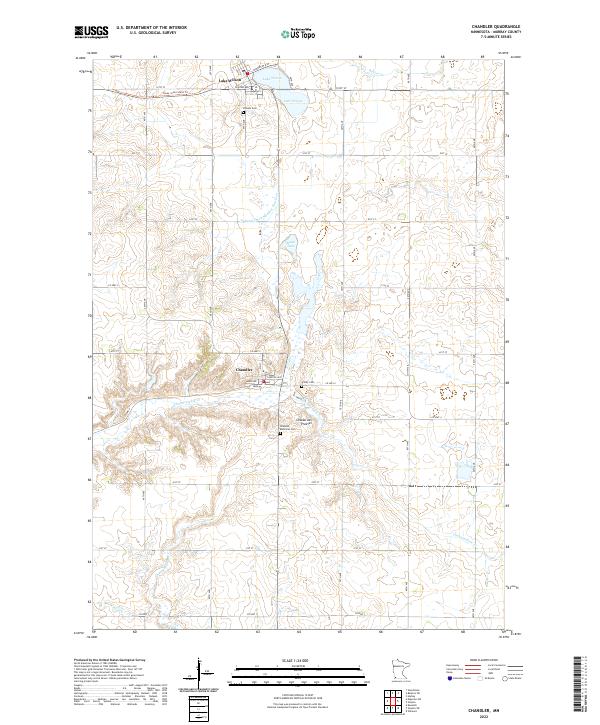
2022 Map of Chandler
USGS Topo · Published 2022About this map
Coteau des Prairies, a prominent upland plateau, defines the drainage patterns of this Murray County landscape. The settlement of Chandler sits near the headwaters of Chanarambie Cr, while further north, the town of Lake Wilson is situated along its namesake Lake Wilson and the historic route of the Casey Jones State Trl. This area is characterized by a high concentration of water management and drainage features, including the long Judicial Ditch Number Fourteen and numerous small prairie basins like Moon Lake. Local history is anchored by several sites of significance for genealogists, including the Chandler Memorial Cem, Hillside Cem, and Trinity Cem. The map illustrates a strictly organized agricultural grid, with rural life centered around these small prairie towns and the waterways of Beaver Cr and Champepadan Cr.
Find a feature on this map
33 named features on this map. Tap any name to fly to it.
Don’t see what you’re looking for? This feature index may not catch every label — zoom into the map to look around manually.
Map Details
Editions of this 2022 Chandler Map
This is the sole edition of this map. No revisions or reprints were ever made.
Other maps of this area

1953 · Watertown
USGS Topo · 1:250,000

1953 · New Ulm
USGS Topo · 1:250,000

1954 · Fairmont
USGS Topo · 1:250,000

1955 · Sioux Falls
USGS Topo · 1:250,000

1957 · New Ulm
USGS Topo · 1:250,000

1958 · New Ulm
USGS Topo · 1:250,000

1958 · Sioux Falls
USGS Topo · 1:250,000

1958 · Fairmont
USGS Topo · 1:250,000

1958 · Watertown
USGS Topo · 1:250,000

1967 · New Ulm
USGS Topo · 1:250,000