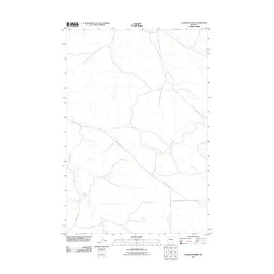
2011 Map of Chandler Spring
USGS Topo · Published 2011About this map
Carpenter Creek and Hawk Creek define the drainage patterns of this rural landscape in Yellowstone County, where ephemeral watercourses wind through open ranch land. The area is marked by a network of established local thoroughfares, most notably the S Musselshell Rd and the Musselshell Trail Rd, which likely follow historic paths between the regional valleys. The landscape is dominated by seasonal drainage basins, including Weed Creek, Wolf Spring Creek, and East Buffalo Creek, indicating a terrain shaped by the runoff of the high plains. This 2011 survey by the United States Geological Survey illustrates the enduring pastoral character of the region, where roads like Pineview Rd and Roberts Rd serve isolated homesteads and grazing operations far from major population centers.
Find a feature on this map
11 named features on this map. Tap any name to fly to it.
Don’t see what you’re looking for? This feature index may not catch every label — zoom into the map to look around manually.
Map Details
Editions of this 2011 Chandler Spring Map
This is the sole edition of this map. No revisions or reprints were ever made.
Other maps of this area

1954 · Forsyth
USGS Topo · 1:250,000

1954 · Roundup
USGS Topo · 1:250,000

1957 · Forsyth
USGS Topo · 1:250,000

1958 · Roundup
USGS Topo · 1:250,000

1958 · Forsyth
USGS Topo · 1:250,000

1962 · Queens Point
USGS Topo · 1:24,000

1963 · Melstone
USGS Topo · 1:24,000

1963 · Musselshell
USGS Topo · 1:24,000

1979 · Roundup
USGS Topo · 1:100,000

1979 · Melstone
USGS Topo · 1:100,000