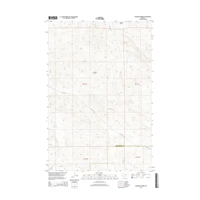
2014 Map of Chandler Spring
USGS Topo · Published 2014About this map
Chandler Spring provides a vital focal point for this high-plains landscape where the border of Musselshell and Yellowstone counties meets. The drainage patterns here are defined by several named coulees and creeks that cut through the terrain, most notably the winding Burnt Shed Coulee and Angus Bell Coulee. These features indicate a dry environment where seasonal water flow has historically shaped land use and ranching boundaries.
Find a feature on this map
22 named features on this map. Tap any name to fly to it.
Don’t see what you’re looking for? This feature index may not catch every label — zoom into the map to look around manually.
Map Details
Editions of this 2014 Chandler Spring Map
This is the sole edition of this map. No revisions or reprints were ever made.
Other maps of this area

1954 · Forsyth
USGS Topo · 1:250,000

1954 · Roundup
USGS Topo · 1:250,000

1957 · Forsyth
USGS Topo · 1:250,000

1958 · Roundup
USGS Topo · 1:250,000

1958 · Forsyth
USGS Topo · 1:250,000
1962 · Queens Point
USGS Topo · 1:24,000
1963 · Melstone
USGS Topo · 1:24,000
1963 · Musselshell
USGS Topo · 1:24,000
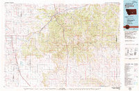
1979 · Roundup
USGS Topo · 1:100,000
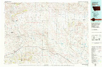
1979 · Melstone
USGS Topo · 1:100,000