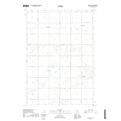
2017 Map of Chapelle Lake
USGS Topo · Published 2017About this map
Chapelle Lake and the seasonally fluctuating Marshy Lake dominate this portion of the Missouri Plateau in Hyde County. The landscape is defined by the high density of small prairie potholes and wetlands typical of this glaciated region, with drainage provided by the meandering Chapelle Creek. The survey reveals a strict adherence to the Public Land Survey System, where a grid of section lines is traced by local routes like 327th Ave and 207th St. Of particular note for local history is Holabird Grade, a north-south arterial that historically connected local agricultural producers to the nearby settlement and railhead to the north. Aside from these primary corridors, the map illustrates a sparsely populated terrain where the intersection of hydrology and early 20th-century road planning shaped the distribution of farmsteads and rural infrastructure.
Find a feature on this map
22 named features on this map. Tap any name to fly to it.
Don’t see what you’re looking for? This feature index may not catch every label — zoom into the map to look around manually.
Map Details
Editions of this 2017 Chapelle Lake Map
This is the sole edition of this map. No revisions or reprints were ever made.
Other maps of this area
1950 · Highmore
USGS Topo · 1:24,000
1953 · Huron
USGS Topo · 1:250,000
1954 · Huron
USGS Topo · 1:250,000
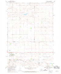
1968 · Harrold
USGS Topo · 1:24,000
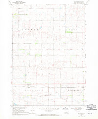
1968 · Holabird
USGS Topo · 1:24,000
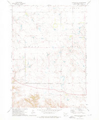
1973 · Chapelle Lake SE
USGS Topo · 1:24,000
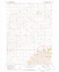
1973 · Chapelle Lake SW
USGS Topo · 1:24,000
1973 · Chapelle Lake
USGS Topo · 1:24,000
1973 · Macs Corner
USGS Topo · 1:24,000
1973 · Macs Corner NW
USGS Topo · 1:24,000