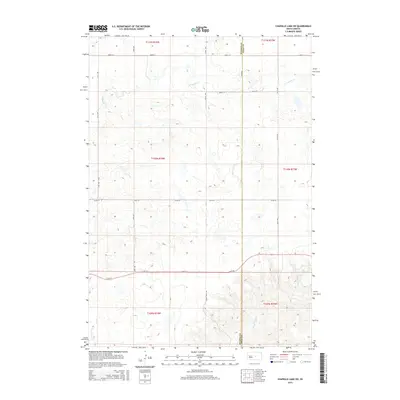
2015 Map of Chapelle Lake SW
USGS Topo · Published 2015About this map
Hughes County and Hyde County meet along a straight north-south line in this rural prairie landscape. The terrain is defined by the headwaters of several drainages, notably S Chapelle Cr in the north and the winding path of Chaney Rush Cr in the south, which flows through a more deeply incised valley as it moves toward the Big Bend area. The section lines are clearly marked by a rigid grid of local roads, such as 208th St and 321st Ave, reflecting the traditional township and range system of the Great Plains. Apart from the natural watercourses like Joe Creek, the map shows a landscape largely shaped by agricultural divisions, with Chaney Rush Road providing one of the few named diagonal or named access routes through the southern hills.
Find a feature on this map
20 named features on this map. Tap any name to fly to it.
Don’t see what you’re looking for? This feature index may not catch every label — zoom into the map to look around manually.
Map Details
Editions of this 2015 Chapelle Lake SW Map
This is the sole edition of this map. No revisions or reprints were ever made.
Other maps of this area

1953 · Huron
USGS Topo · 1:250,000

1954 · Huron
USGS Topo · 1:250,000

1966 · Lower Brule NW
USGS Topo · 1:24,000

1966 · Joe Creek
USGS Topo · 1:24,000

1966 · Lower Brule NE
USGS Topo · 1:24,000

1967 · De Grey NE
USGS Topo · 1:24,000

1973 · Chapelle Lake SE
USGS Topo · 1:24,000

1973 · De Grey SE
USGS Topo · 1:24,000

1973 · Chapelle Lake SW
USGS Topo · 1:24,000

1973 · Chapelle Lake
USGS Topo · 1:24,000