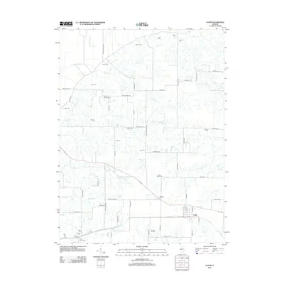
2012 Map of Chapin
USGS Topo · Published 2012About this map
The village of Chapin and the nearby community of Bethel anchor this portion of Morgan County, characterized by a dense network of family-named roads and scattered pioneer-era burial grounds. The landscape is defined by the drainage systems of Coon Run, Spring Run, and Willow Cr, which cut through the agricultural tracts. This 2012 survey shows a remarkable density of genealogical interest, preserving the locations of numerous family and church cemeteries such as Charles Schlickers Cem, Heffner Cem, and the Trinity Lutheran Cem.
Find a feature on this map
72 named features on this map. Tap any name to fly to it.
Don’t see what you’re looking for? This feature index may not catch every label — zoom into the map to look around manually.
Map Details
Editions of this 2012 Chapin Map
This is the sole edition of this map. No revisions or reprints were ever made.
Other maps of this area

1924 · Winchester
USGS Topo · 1:48,000

1924 · Griggsville
USGS Topo · 1:62,500

1926 · Griggsville
USGS Topo · 1:62,500

1926 · Winchester
USGS Topo · 1:62,500

1928 · Meredosia
USGS Topo · 1:62,500

1929 · Arenzville
USGS Topo · 1:62,500

1931 · Meredosia
USGS Topo · 1:62,500

1932 · Arenzville
USGS Topo · 1:62,500

1948 · Quincy
USGS Topo · 1:250,000

1956 · Quincy
USGS Topo · 1:250,000