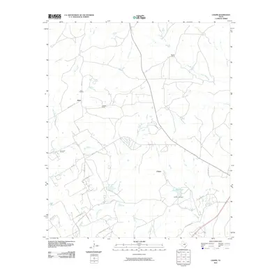
2010 Map of Chapin
USGS Topo · Published 2010About this map
Baker and Chapin anchor this rural landscape in Parker County, characterized by a network of ranchlands and winding creek beds. Family-owned heritage is evident through properties like the Double L Ranch and Cresson Ranch, while the area's local history is anchored by the Baker Cemetery and Long Creek Cemetery. The topography is defined by the drainage of South Bear Creek, Long Creek, and Rucker Creek, which cut through the terrain and dictate the placement of local roads such as Baker Rd and Temple Hall Hwy.
Find a feature on this map
34 named features on this map. Tap any name to fly to it.
Don’t see what you’re looking for? This feature index may not catch every label — zoom into the map to look around manually.
Map Details
Editions of this 2010 Chapin Map
This is the sole edition of this map. No revisions or reprints were ever made.
Other maps of this area

1889 · Granbury
USGS Topo · 1:125,000

1891 · Weatherford
USGS Topo · 1:125,000

1893 · Weatherford
USGS Topo · 1:125,000

1923 · Granbury 2-a
USGS Topo · 1:48,000

1923 · Granbury 1-b
USGS Topo · 1:48,000

1924 · Weatherford 3-d
USGS Topo · 1:48,000

1928 · Godley
USGS Topo · 1:62,500

1931 · Dennis
USGS Topo · 1:62,500

1931 · Tolar
USGS Topo · 1:62,500

1954 · Dallas
USGS Topo · 1:250,000