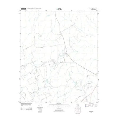
2013 Map of Chapin
USGS Topo · Published 2013About this map
Baker and Chapin serve as the primary focal points of this Parker County landscape, where the transition from traditional ranching to modern residential development is evident. The terrain is defined by a dense network of seasonal drainages including Long Cr, Rucker Cr, and Fall Cr, which have shaped the local settlement patterns. For those tracing family histories, the presence of Baker Cem and Long Creek Cem provides critical genealogical touchpoints in an area still anchored by larger holdings like Double L Ranch and Cresson Ranch. The infrastructure reflects a mix of old through-routes such as Monroe Hwy and the Temple Hall Hwy alongside newer suburban clusters near Highland Lakes Dr. Unique water features like Parkinson Springs and numerous unnamed stock ponds highlight the importance of water management in this Texas prairie environment.
Find a feature on this map
49 named features on this map. Tap any name to fly to it.
Don’t see what you’re looking for? This feature index may not catch every label — zoom into the map to look around manually.
Map Details
Editions of this 2013 Chapin Map
This is the sole edition of this map. No revisions or reprints were ever made.
Other maps of this area
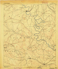
1889 · Granbury
USGS Topo · 1:125,000
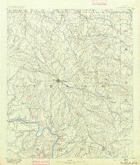
1891 · Weatherford
USGS Topo · 1:125,000
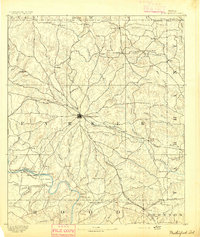
1893 · Weatherford
USGS Topo · 1:125,000
1923 · Granbury 2-a
USGS Topo · 1:48,000
1923 · Granbury 1-b
USGS Topo · 1:48,000
1924 · Weatherford 3-d
USGS Topo · 1:48,000
1928 · Godley
USGS Topo · 1:62,500
1931 · Dennis
USGS Topo · 1:62,500
1931 · Tolar
USGS Topo · 1:62,500

1954 · Dallas
USGS Topo · 1:250,000