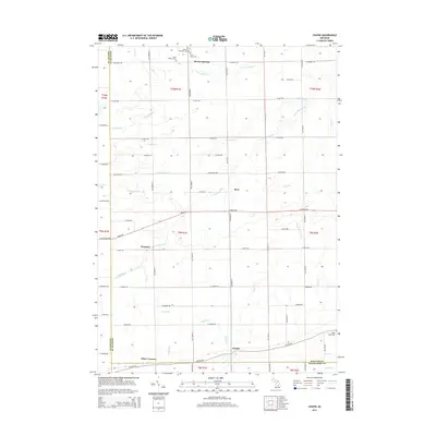
2014 Map of Chapin
USGS Topo · Published 2014About this map
Marion Springs sits near the northern boundary of this central Michigan quadrangle, where the local road network centers on the Marion Township Cem and Saint Johns Cem. The landscape is defined by a dense grid of rural sections, partitioned by a complex drainage system that includes Limbocker Cr, Lamb Cr, and the winding S Fork Bad River. Small community clusters like Racy, Fenmore, and Chapin provide anchor points for family historians, as many names are tied to early settlement patterns at the intersection of Gratiot, Saginaw, and Shiawassee counties. This survey reflects the agricultural character of the region, where numerous named drains like Olney Drain and Coon Drain highlight the historical necessity of water management for local farming. Near the southern edge, Olney Corners marks a notable crossroad, while the Ridge Road Cem remains an important landmark for genealogical research.
Find a feature on this map
65 named features on this map. Tap any name to fly to it.
Don’t see what you’re looking for? This feature index may not catch every label — zoom into the map to look around manually.
Map Details
Editions of this 2014 Chapin Map
This is the sole edition of this map. No revisions or reprints were ever made.
Other maps of this area

1917 · Chesaning
USGS Topo · 1:62,500

1917 · St. Charles
USGS Topo · 1:62,500

1918 · Elsie
USGS Topo · 1:62,500

1934 · Merrill
USGS Topo · 1:62,500

1937 · Merrill
USGS Topo · 1:62,500

1943 · Chesaning
USGS Topo · 1:62,500

1943 · St. Charles
USGS Topo · 1:62,500

1943 · Elsie
USGS Topo · 1:62,500

1954 · Midland
USGS Topo · 1:250,000

1958 · Midland
USGS Topo · 1:250,000