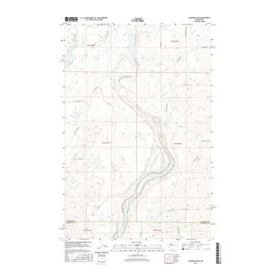
2017 Map of Chapman Lake
USGS Topo · Published 2017About this map
Chapman Lake and Bonnie Lake anchor a landscape defined by the Channeled Scablands topography at the boundary of Spokane and Whitman counties. This 2017 survey details a sparsely populated region where water bodies like Badger Lake and Johnson Lake follow the northeast-to-southwest orientation of ancient glacial floods. The local transportation network relies on rural connectors such as S Cheney Plaza Rd and S Texas Ferry Rd, which navigate the coulees and basalt outcrops. Water drainage is managed by small tributaries including Sanders Cr, Rock Cr, and Buckeye Cr. The map illustrates how modern land use and road placement are still dictated by the distinctive geomorphology of the Columbia Plateau, with large tracts of land remaining largely undeveloped.
Find a feature on this map
32 named features on this map. Tap any name to fly to it.
Don’t see what you’re looking for? This feature index may not catch every label — zoom into the map to look around manually.
Map Details
Editions of this 2017 Chapman Lake Map
This is the sole edition of this map. No revisions or reprints were ever made.
Other maps of this area
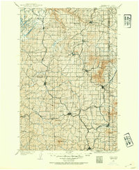
1903 · Oakesdale
USGS Topo · 1:125,000
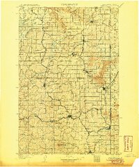
1905 · Oakesdale
USGS Topo · 1:125,000
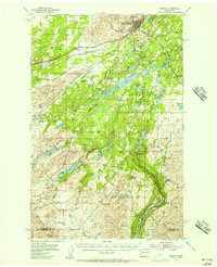
1954 · Cheney
USGS Topo · 1:62,500
1954 · Spangle
USGS Topo · 1:62,500
1955 · Spokane
USGS Topo · 1:250,000
1958 · Spokane
USGS Topo · 1:250,000
1964 · Malden
USGS Topo · 1:24,000
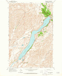
1964 · Rock Lake
USGS Topo · 1:24,000
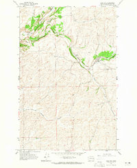
1964 · Pine City
USGS Topo · 1:24,000
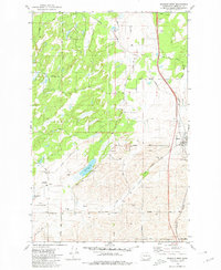
1980 · Spangle West
USGS Topo · 1:24,000