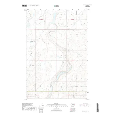
2020 Map of Chapman Lake
USGS Topo · Published 2020About this map
The waters of Bonnie Lake and Johnson Lake dominate the central topography of this Spokane and Whitman county borderland. The landscape is defined by the winding paths of Rock Cr and Sanders Cr, which cut through the drainage basins of the Channeled Scablands. This 2020 survey reveals a rural network of roads that reflect the area's agricultural and transit history, including the prominent S Texas Ferry Rd and S Cheney Plaza Rd. Long-established routes like W Chapman Lake Rd and S Long Rd connect isolated homesteads and ranch lands across the township boundaries of T21N and T22N. The map provides a contemporary look at the preservation of traditional land divisions, where naming conventions like W Rock Creek Ln and W Williams Lake Rd persist alongside the natural watercourses of Buckeye Cr and Negro Cr.
Find a feature on this map
31 named features on this map. Tap any name to fly to it.
Don’t see what you’re looking for? This feature index may not catch every label — zoom into the map to look around manually.
Map Details
Editions of this 2020 Chapman Lake Map
This is the sole edition of this map. No revisions or reprints were ever made.
Other maps of this area
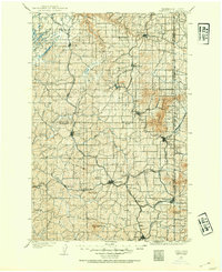
1903 · Oakesdale
USGS Topo · 1:125,000
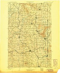
1905 · Oakesdale
USGS Topo · 1:125,000
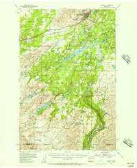
1954 · Cheney
USGS Topo · 1:62,500
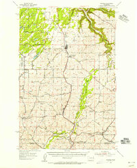
1954 · Spangle
USGS Topo · 1:62,500
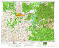
1955 · Spokane
USGS Topo · 1:250,000
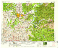
1958 · Spokane
USGS Topo · 1:250,000
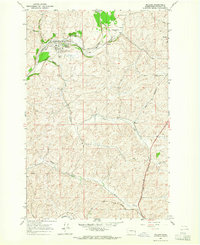
1964 · Malden
USGS Topo · 1:24,000
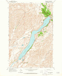
1964 · Rock Lake
USGS Topo · 1:24,000
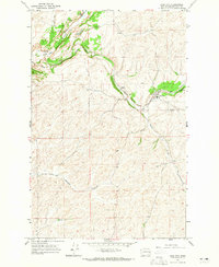
1964 · Pine City
USGS Topo · 1:24,000
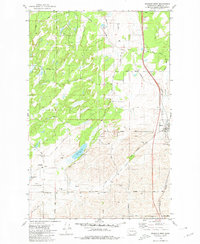
1980 · Spangle West
USGS Topo · 1:24,000