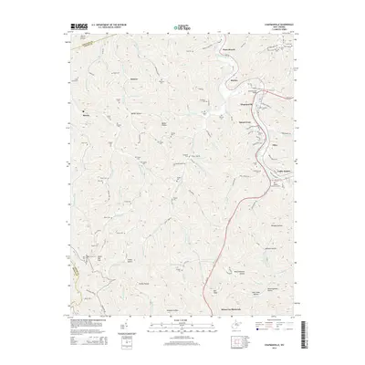
2014 Map of Chapmanville
USGS Topo · Published 2014About this map
The Guyandotte River carves a winding path through this portion of Logan County, serving as the primary corridor for the town of Chapmanville and the Chapmanville Bridge. This 2014 survey reveals a landscape where modern infrastructure like Us-119 and WV-10 follows the river's valley, connecting communities such as Stone Branch, Kitchen, and Sunset Court. The surrounding hills are deeply incised by countless drainages, including Smokehouse Fork, Mud Fork, and Cherrytree Br, creating a topography characterized by numerous named hollows and knobs such as Wet Knob.
Find a feature on this map
113 named features on this map. Tap any name to fly to it.
Don’t see what you’re looking for? This feature index may not catch every label — zoom into the map to look around manually.
Map Details
Editions of this 2014 Chapmanville Map
This is the sole edition of this map. No revisions or reprints were ever made.
Other maps of this area

1887 · Warfield
USGS Topo · 1:125,000

1891 · Oceana
USGS Topo · 1:125,000

1891 · Warfield
USGS Topo · 1:125,000

1892 · Huntington
USGS Topo · 1:125,000

1893 · Oceana
USGS Topo · 1:125,000

1898 · Huntington
USGS Topo · 1:125,000

1898 · Oceana
USGS Topo · 1:125,000

1899 · Charleston
USGS Topo · 1:125,000

1902 · Midkiff
USGS Topo · 1:62,500

1907 · Midkiff
USGS Topo · 1:62,500