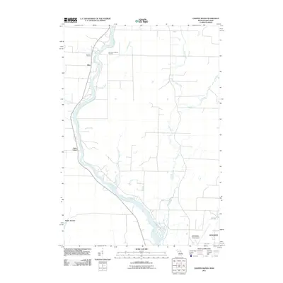
2011 Map of Chappee Rapids
USGS Topo · Published 2011About this map
The Menominee River serves as the dominant geographical feature of this 2011 survey, delineating the winding border between Michigan and Wisconsin. Along its banks, the landscape reveals a quiet history of local settlement and navigation, from the distinct Twin Island Rapids to the Chappee Rapids further downstream. The area is characterized by several small community nodes such as Miles, Rubys Corner, and Bagley Junction, which reflect the localized transportation and agricultural patterns of Menominee County.
Find a feature on this map
22 named features on this map. Tap any name to fly to it.
Don’t see what you’re looking for? This feature index may not catch every label — zoom into the map to look around manually.
Map Details
Editions of this 2011 Chappee Rapids Map
This is the sole edition of this map. No revisions or reprints were ever made.
Other maps of this area

1939 · Marinette
USGS Topo · 1:48,000

1939 · Porterfield
USGS Topo · 1:48,000

1942 · Porterfield
USGS Topo · 1:48,000

1942 · Wausaukee
USGS Topo · 1:48,000

1947 · Wausaukee
USGS Topo · 1:48,000

1949 · Stephenson
USGS Topo · 1:48,000

1954 · Escanaba
USGS Topo · 1:250,000

1957 · Escanaba
USGS Topo · 1:250,000

1958 · Escanaba
USGS Topo · 1:250,000

1963 · Porterfield
USGS Topo · 1:62,500