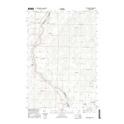
2017 Map of Chappee Rapids
USGS Topo · Published 2017About this map
The Menominee River serves as the winding interstate border between Marinette County, Wisconsin, and Menominee County, Michigan. This riparian landscape is defined by the Chappee Rapids and several small tributaries including Sobiesky Cr and Mortin Cr. Near the river's upper reaches on this sheet, Saint Mary's Mission Cem and the settlement of Winesville represent the area's early Catholic and community foundations.
Find a feature on this map
80 named features on this map. Tap any name to fly to it.
Don’t see what you’re looking for? This feature index may not catch every label — zoom into the map to look around manually.
Map Details
Editions of this 2017 Chappee Rapids Map
This is the sole edition of this map. No revisions or reprints were ever made.
Other maps of this area
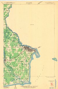
1939 · Marinette
USGS Topo · 1:48,000
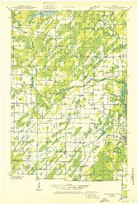
1939 · Porterfield
USGS Topo · 1:48,000
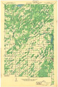
1942 · Porterfield
USGS Topo · 1:48,000
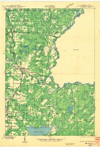
1942 · Wausaukee
USGS Topo · 1:48,000
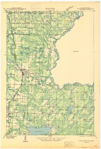
1947 · Wausaukee
USGS Topo · 1:48,000
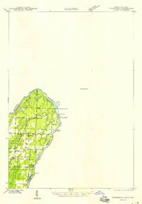
1949 · Stephenson
USGS Topo · 1:48,000
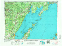
1954 · Escanaba
USGS Topo · 1:250,000
1957 · Escanaba
USGS Topo · 1:250,000
1958 · Escanaba
USGS Topo · 1:250,000
1963 · Porterfield
USGS Topo · 1:62,500