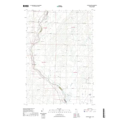
2019 Map of Chappee Rapids
USGS Topo · Published 2019About this map
The Menominee River serves as the winding border between Michigan and Wisconsin, anchoring this landscape of riverfront settlements and rural infrastructure. Near the river's path, the Saint Mary's Mission Cem and Winesville Cem provide significant touchpoints for genealogical research in Menominee County. The terrain is defined by a network of numbered roads and creeks, including Chappee Cr and Sobiesky Cr, which flow toward the main river channel and the Chappee Rapids.
Find a feature on this map
64 named features on this map. Tap any name to fly to it.
Don’t see what you’re looking for? This feature index may not catch every label — zoom into the map to look around manually.
Map Details
Editions of this 2019 Chappee Rapids Map
This is the sole edition of this map. No revisions or reprints were ever made.
Other maps of this area

1939 · Marinette
USGS Topo · 1:48,000

1939 · Porterfield
USGS Topo · 1:48,000

1942 · Porterfield
USGS Topo · 1:48,000

1942 · Wausaukee
USGS Topo · 1:48,000

1947 · Wausaukee
USGS Topo · 1:48,000

1949 · Stephenson
USGS Topo · 1:48,000

1954 · Escanaba
USGS Topo · 1:250,000

1957 · Escanaba
USGS Topo · 1:250,000

1958 · Escanaba
USGS Topo · 1:250,000

1963 · Porterfield
USGS Topo · 1:62,500