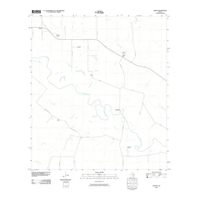
2010 Map of Charco
USGS Topo · Published 2010About this map
The San Antonio River snakes through this Goliad County landscape, defining a rural corridor where cattle ranching and energy extraction exist side by side. Small clusters of habitation and named estates like Irby Ranch and Dial Ranch are connected by a network of farm roads and private lanes, including Irby Rd and Newton-Powell Rd. The map documents the local energy economy through the Charco Southeast Gas Field and Albrecht Gas Field, which dot the northern half of the quadrangle.
Find a feature on this map
30 named features on this map. Tap any name to fly to it.
Don’t see what you’re looking for? This feature index may not catch every label — zoom into the map to look around manually.
Map Details
Editions of this 2010 Charco Map
This is the sole edition of this map. No revisions or reprints were ever made.
Other maps of this area

1953 · Beeville
USGS Topo · 1:250,000

1956 · Beeville
USGS Topo · 1:250,000

1960 · Beeville
USGS Topo · 1:250,000
1962 · Melo
USGS Topo · 1:24,000
1962 · Goliad
USGS Topo · 1:24,000
1963 · Choate
USGS Topo · 1:24,000
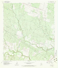
1963 · Lazy F Ranch
USGS Topo · 1:24,000
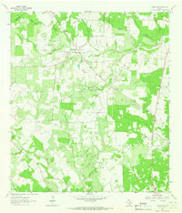
1963 · Weesatche
USGS Topo · 1:24,000
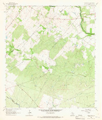
1963 · Berclair NW
USGS Topo · 1:24,000
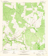
1963 · Berclair
USGS Topo · 1:24,000