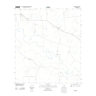
2013 Map of Charco
USGS Topo · Published 2013About this map
The San Antonio River meanders across this rural Goliad County landscape, defining the character of a region where agriculture and energy production coexist. The community of Charco serves as a northern focal point, with smaller named locales like Angel City and Riverdale distributed near the river's winding course. For genealogists, the presence of the John Pettus Cem and San Jasinto Cem provides significant points for tracing local family history, while labels for Irby Ranch and Dial Ranch reflect the established ranching culture of southern Texas. The industrial footprint of the early 21st century is evident through the Charco Southeast Gas Field and Albrecht Gas Field, showing how natural resource extraction has integrated into the traditional pastoral land use. Waterways such as Hord Cr, Cabeza Cr, and Lost Cr create a complex drainage network feeding into the primary river valley.
Find a feature on this map
30 named features on this map. Tap any name to fly to it.
Don’t see what you’re looking for? This feature index may not catch every label — zoom into the map to look around manually.
Map Details
Editions of this 2013 Charco Map
This is the sole edition of this map. No revisions or reprints were ever made.
Other maps of this area

1953 · Beeville
USGS Topo · 1:250,000

1956 · Beeville
USGS Topo · 1:250,000

1960 · Beeville
USGS Topo · 1:250,000
1962 · Melo
USGS Topo · 1:24,000
1962 · Goliad
USGS Topo · 1:24,000
1963 · Choate
USGS Topo · 1:24,000
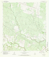
1963 · Lazy F Ranch
USGS Topo · 1:24,000
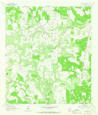
1963 · Weesatche
USGS Topo · 1:24,000
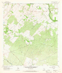
1963 · Berclair NW
USGS Topo · 1:24,000
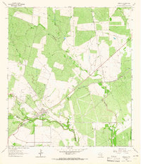
1963 · Berclair
USGS Topo · 1:24,000