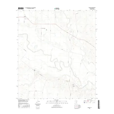
2016 Map of Charco
USGS Topo · Published 2016About this map
The San Antonio River meanders through this South Texas landscape, defining a terrain of low ridges and winding creek beds in Goliad County. The small community of Charco sits at the junction of FM 81 and Charco St, serving as a hub for the surrounding ranchlands. For genealogists and local historians, the area is notable for its numerous family burial grounds, including the Smith-Walker Cemetery, John Pettus Cem, and Lott Pettus Cem, which reflect the long-standing family ties to this cattle-raising region. Transportation is anchored by local routes like Newton Powell Rd and Ed Pettus Ln, while the Lantana Ridge Airport provides an aviation link near the prominent Lantana Ridge. Numerous tributaries such as Hord Cr, Lost Cr, and Cabeza Cr flow toward the primary river channel, illustrating the drainage patterns of the coastal plains.
Find a feature on this map
28 named features on this map. Tap any name to fly to it.
Don’t see what you’re looking for? This feature index may not catch every label — zoom into the map to look around manually.
Map Details
Editions of this 2016 Charco Map
This is the sole edition of this map. No revisions or reprints were ever made.
Other maps of this area

1953 · Beeville
USGS Topo · 1:250,000

1956 · Beeville
USGS Topo · 1:250,000

1960 · Beeville
USGS Topo · 1:250,000
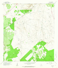
1962 · Melo
USGS Topo · 1:24,000
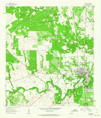
1962 · Goliad
USGS Topo · 1:24,000
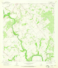
1963 · Choate
USGS Topo · 1:24,000
1963 · Lazy F Ranch
USGS Topo · 1:24,000
1963 · Weesatche
USGS Topo · 1:24,000
1963 · Berclair NW
USGS Topo · 1:24,000
1963 · Berclair
USGS Topo · 1:24,000