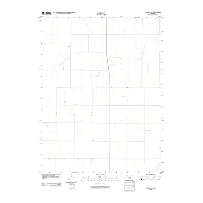
2009 Map of Chardon SE
USGS Topo · Published 2009About this map
Middle Fork Sappa Creek and South Fork Sappa Creek define the drainage patterns of this high plains landscape in Rawlins County. The map reveals a strictly organized section-line road network, including Co RD Aa, Co RD BB, and Co RD 18, which facilitates movement across the agricultural terrain. This 2009 survey by the U.S. Geological Survey illustrates the intersection of natural hydrology and the rectilinear human imprint of the rural Midwest. The distribution of small structures and access roads such as Co RD DD and Co RD Ee provides a clear view of land use and property divisions at the start of the 21st century.
Find a feature on this map
8 named features on this map. Tap any name to fly to it.
Don’t see what you’re looking for? This feature index may not catch every label — zoom into the map to look around manually.
Map Details
Editions of this 2009 Chardon SE Map
This is the sole edition of this map. No revisions or reprints were ever made.
Other maps of this area

1943 · Colby
USGS Topo · 1:62,500

1951 · Achilles
USGS Topo · 1:62,500

1951 · Chardon
USGS Topo · 1:62,500

1954 · Goodland
USGS Topo · 1:250,000

1956 · Goodland
USGS Topo · 1:250,000

1957 · Goodland
USGS Topo · 1:250,000

1967 · Levant
USGS Topo · 1:24,000

1967 · Colby
USGS Topo · 1:24,000

1978 · Long Draw South
USGS Topo · 1:24,000
1978 · Chardon
USGS Topo · 1:24,000