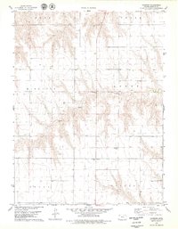
1978 Map of Chardon
USGS Topo · Published 1979About this map
Chardon serves as the primary landmark in this late-1970s survey of the High Plains, situated among the townships of Logan, Atwood, Mikesell, Arbor, Grant, and Clinton. The landscape is defined by the winding course of the North Fork Sappa Creek, which carves intricate drainage patterns through the surrounding tablelands. Local genealogical interests are represented by the Chardon Cem, located just north of the town site along the main north-south thoroughfare. The map also identifies a Roadside Park and several scattered well sites, reflecting the agricultural and rural infrastructure of Rawlins County during this period. The surveyor's data captures a moment before significant modern changes, preserving the spatial relationship between these small townships and the natural waterways that dictate the region's layout.
Find a feature on this map
11 named features on this map. Tap any name to fly to it.
Don’t see what you’re looking for? This feature index may not catch every label — zoom into the map to look around manually.
Map Details
Editions of this 1978 Chardon Map
This is the sole edition of this map. No revisions or reprints were ever made.
Other maps of this area

1951 · Herndon
USGS Topo · 1:62,500

1951 · Achilles
USGS Topo · 1:62,500

1951 · Atwood
USGS Topo · 1:62,500

1951 · Chardon
USGS Topo · 1:62,500

1954 · Goodland
USGS Topo · 1:250,000

1956 · Goodland
USGS Topo · 1:250,000

1957 · Goodland
USGS Topo · 1:250,000

1978 · Long Draw South
USGS Topo · 1:24,000
1978 · Beardsley
USGS Topo · 1:24,000
1978 · Atwood
USGS Topo · 1:24,000