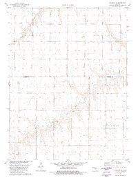
1981 Map of Chardon SW
USGS Topo · Published 1981About this map
Middle Fork Sappa Creek and the North Fork Sappa Creek converge on this High Plains landscape, defining the local topography near the northern edge of the state. Surveyed in the late 1970s, this area reflects the organized section-line grids of northwestern Kansas, where the townships of Mirage, Grant, Barrett, and Rovohl meet. Historical markers for genealogists and local researchers include the Ilion Cem and a small Sandpit located near the Sappa Creek drainage. The land is characterized by numerous water wells and surveyed section corners, illustrating the transition from open range to established agricultural boundaries along the Rawlins Co Thomas Co line.
Find a feature on this map
11 named features on this map. Tap any name to fly to it.
Don’t see what you’re looking for? This feature index may not catch every label — zoom into the map to look around manually.
Map Details
Editions of this 1981 Chardon SW Map
This is the sole edition of this map. No revisions or reprints were ever made.
Other maps of this area

1943 · Colby
USGS Topo · 1:62,500

1951 · Chardon
USGS Topo · 1:62,500

1951 · Dewey Ranch
USGS Topo · 1:62,500

1954 · Goodland
USGS Topo · 1:250,000

1956 · Goodland
USGS Topo · 1:250,000

1957 · Goodland
USGS Topo · 1:250,000

1967 · Brewster NE
USGS Topo · 1:24,000

1967 · Levant
USGS Topo · 1:24,000

1967 · Colby
USGS Topo · 1:24,000
1978 · Chardon
USGS Topo · 1:24,000