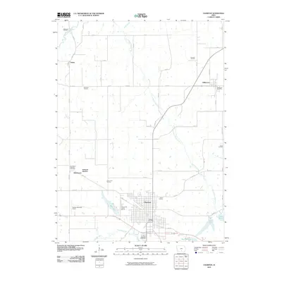
2010 Map of Chariton
USGS Topo · Published 2010About this map
Chariton serves as the hub of this Southern Iowa landscape, where the confluence of regional roads and the Chariton River valley dictate the local geography. To the north, the smaller settlements of Williamson and Oakley are connected by a grid of rural routes such as Co Rd H20, while Indianola Junction and Whitebreast mark important transit points near the Burlington Railroad Overpass. The map reveals a high density of small family and community burial grounds, including Mount Zion Cemetery, Niswender Cemetery, and the Oxford Cemetery, which provide essential touchpoints for genealogical research in Lucas County.
Find a feature on this map
57 named features on this map. Tap any name to fly to it.
Don’t see what you’re looking for? This feature index may not catch every label — zoom into the map to look around manually.
Map Details
Editions of this 2010 Chariton Map
This is the sole edition of this map. No revisions or reprints were ever made.
Other maps of this area

1918 · Chariton
USGS Topo · 1:62,500

1924 · Melcher
USGS Topo · 1:62,500

1934 · Humeston
USGS Topo · 1:48,000

1935 · Russell
USGS Topo · 1:62,500

1937 · Corydon
USGS Topo · 1:62,500

1938 · Russell
USGS Topo · 1:62,500

1954 · Centerville
USGS Topo · 1:250,000

1954 · Des Moines
USGS Topo · 1:250,000

1956 · Des Moines
USGS Topo · 1:250,000

1957 · Des Moines
USGS Topo · 1:250,000