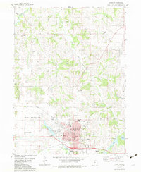
1982 Map of Chariton
USGS Topo · Published 1983About this map
Chariton serves as the regional hub in this early 1980s survey, centered at the intersection of the Burlington Northern railroad and several local routes. The town’s social and civic infrastructure is well-defined, featuring the Courthouse, County Museum, and schools like Van Allen Sch. The surrounding landscape is a mix of agricultural uplands and wooded drainages like White Breast Creek and the Chariton River.
Find a feature on this map
59 named features on this map. Tap any name to fly to it.
Don’t see what you’re looking for? This feature index may not catch every label — zoom into the map to look around manually.
Map Details
Editions of this 1982 Chariton Map
This is the sole edition of this map. No revisions or reprints were ever made.
Other maps of this area

1918 · Chariton
USGS Topo · 1:62,500

1924 · Melcher
USGS Topo · 1:62,500

1934 · Humeston
USGS Topo · 1:48,000

1935 · Russell
USGS Topo · 1:62,500

1937 · Corydon
USGS Topo · 1:62,500

1938 · Russell
USGS Topo · 1:62,500

1954 · Centerville
USGS Topo · 1:250,000

1954 · Des Moines
USGS Topo · 1:250,000

1956 · Des Moines
USGS Topo · 1:250,000

1957 · Des Moines
USGS Topo · 1:250,000