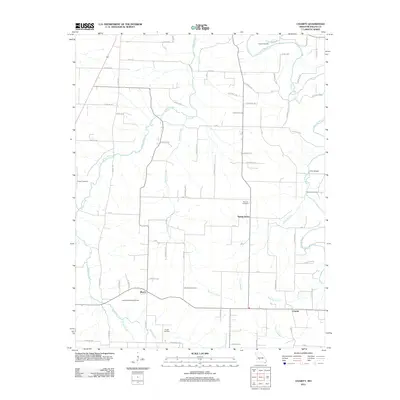
2011 Map of Charity
USGS Topo · Published 2011About this map
Spring Grove, March, and Charity anchor this 2011 survey of Dallas County, Missouri, where a complex network of county roads weaves through a landscape defined by the Niangua River and its numerous tributaries. The map documents a rural transition where traditional farming communities intersect with modern infrastructure like Lauries Landing Airport. For genealogists, the distribution of small family burial grounds such as Davidson Cemetery, Powell Cemetery, and Bannon Cemetery provides vital clues to the historical settlement patterns of the region.
Find a feature on this map
61 named features on this map. Tap any name to fly to it.
Don’t see what you’re looking for? This feature index may not catch every label — zoom into the map to look around manually.
Map Details
Editions of this 2011 Charity Map
This is the sole edition of this map. No revisions or reprints were ever made.
Other maps of this area

1884 · Springfield
USGS Topo · 1:125,000

1884 · Bolivar
USGS Topo · 1:125,000

1886 · Springfield
USGS Topo · 1:125,000

1892 · Bolivar
USGS Topo · 1:125,000

1939 · Long Lane
USGS Topo · 1:62,500

1942 · Long Lane
USGS Topo · 1:62,500

1946 · Niangua
USGS Topo · 1:62,500

1947 · Strafford
USGS Topo · 1:62,500

1948 · Niangua
USGS Topo · 1:62,500

1948 · Strafford
USGS Topo · 1:62,500