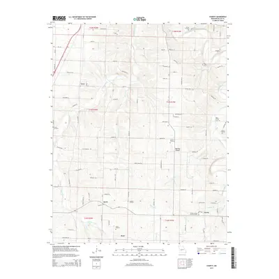
2015 Map of Charity
USGS Topo · Published 2015About this map
Niangua River and its varied tributaries, including Greasy Creek and Opossum Cr, carve a complex network through this section of Dallas County. The map documents a landscape defined by small rural hubs and an extensive collection of family and community burial grounds. Settlements like Charity, March, and Boyd serve as primary points of reference, while numerous cemeteries such as Fraker Cemetery, Bannon Cemetery, and Davidson Cemetery provide significant data for genealogists tracing local lineage. The presence of Charity Christian Church Cemetery suggests a long-standing community center. The terrain is marked by dozens of named roads and trails, from Chicago Rd to Sawbuck Trl, reflecting a modern overlay on a land still largely governed by its drainage basins and ridges.
Find a feature on this map
100 named features on this map. Tap any name to fly to it.
Don’t see what you’re looking for? This feature index may not catch every label — zoom into the map to look around manually.
Map Details
Editions of this 2015 Charity Map
This is the sole edition of this map. No revisions or reprints were ever made.
Other maps of this area
1884 · Springfield
USGS Topo · 1:125,000
1884 · Bolivar
USGS Topo · 1:125,000
1886 · Springfield
USGS Topo · 1:125,000
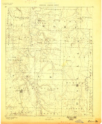
1892 · Bolivar
USGS Topo · 1:125,000
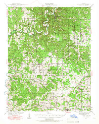
1939 · Long Lane
USGS Topo · 1:62,500
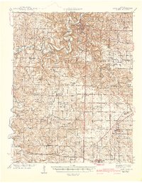
1942 · Long Lane
USGS Topo · 1:62,500
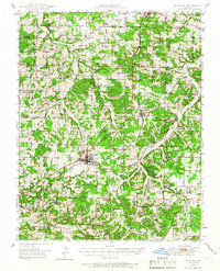
1946 · Niangua
USGS Topo · 1:62,500
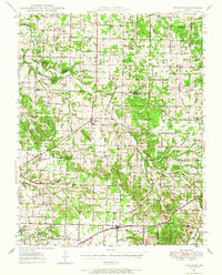
1947 · Strafford
USGS Topo · 1:62,500
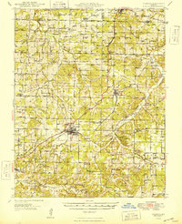
1948 · Niangua
USGS Topo · 1:62,500
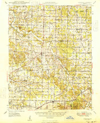
1948 · Strafford
USGS Topo · 1:62,500