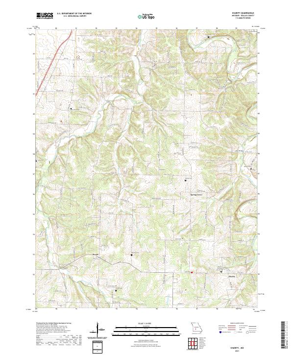
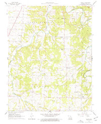
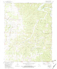
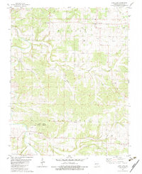
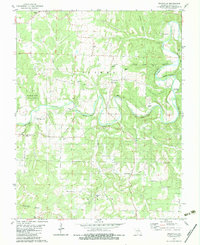
2021 Map of Charity
USGS Topo · Published 2021About this map
Niangua River winds through the northeastern portion of this Missouri landscape, forming a natural boundary for the small rural communities and farms of Dallas County. The settlement patterns are anchored by local hubs like Spring Grove, March, and Charity, where the Charity Christian Church serves as a central landmark. The terrain is defined by a network of drainages including Greasy Creek, Opossum Cr, and Jones Br, which feed into the larger river system.
Find a feature on this map
104 named features on this map. Tap any name to fly to it.
Don’t see what you’re looking for? This feature index may not catch every label — zoom into the map to look around manually.
Map Details
Editions of this 2021 Charity Map
This is the sole edition of this map. No revisions or reprints were ever made.
Historical Maps of March Through Time
27 maps found
1939 Long Lane
Dallas County, MO
1942 Long Lane
Dallas County, MO
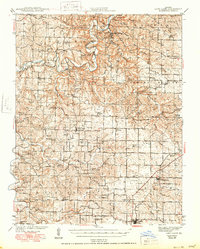
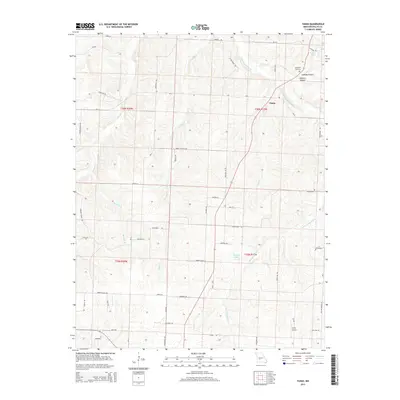
1960 Tunas
Dallas County, MO
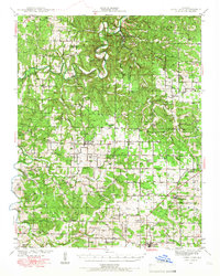
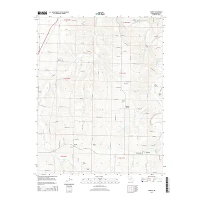
1961 Charity
Dallas County, MO
1982 Leadmine
Dallas County, MO
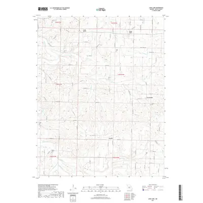
1982 Long Lane
Dallas County, MO
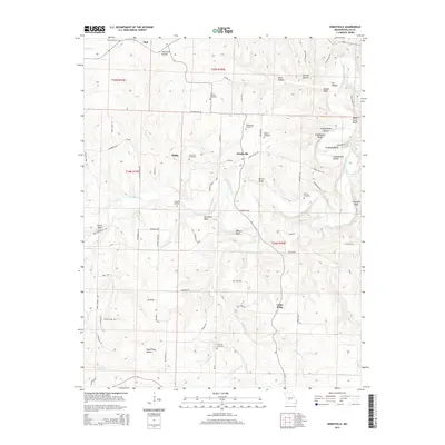
1982 Windyville
Dallas County, MO
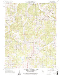
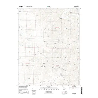
2011 Charity
Dallas County, MO
2011 Long Lane
Dallas County, MO
2011 Tunas
Dallas County, MO
2011 Windyville
Dallas County, MO
2012 Leadmine
Dallas County, MO
2015 Charity
Dallas County, MO
2015 Leadmine
Dallas County, MO
2015 Long Lane
Dallas County, MO
2015 Tunas
Dallas County, MO
2015 Windyville
Dallas County, MO
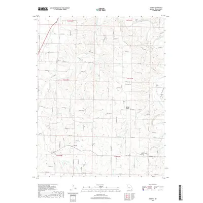
2017 Charity
Dallas County, MO
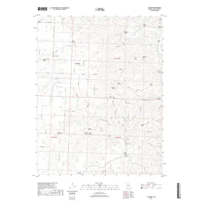
2017 Leadmine
Dallas County, MO
2017 Long Lane
Dallas County, MO
2017 Tunas
Dallas County, MO
2017 Windyville
Dallas County, MO
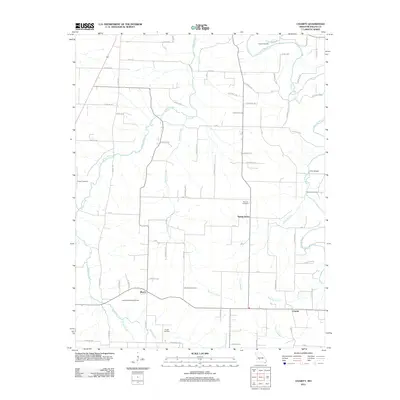
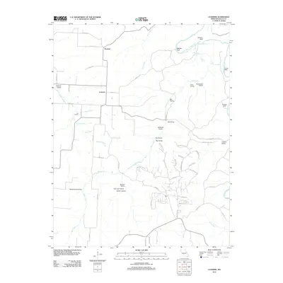
2021 Charity
Dallas County, MO
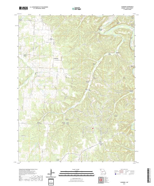
2021 Leadmine
Dallas County, MO
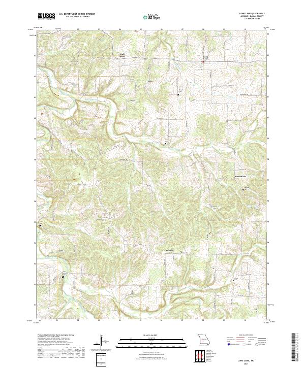
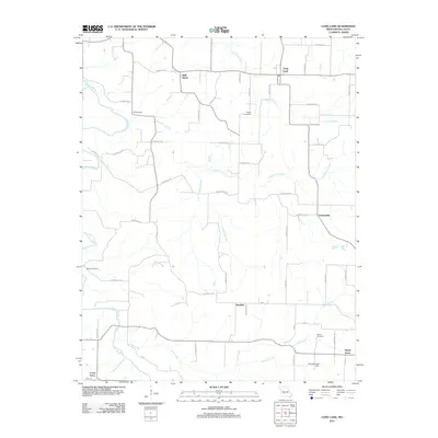
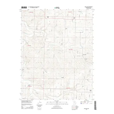
2021 Long Lane
Dallas County, MO
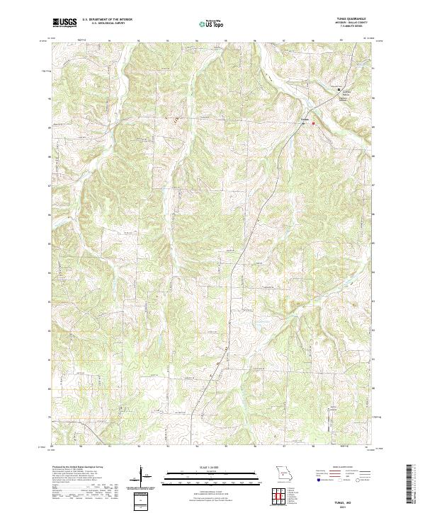
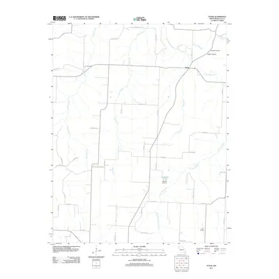
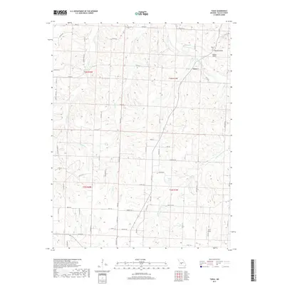
2021 Tunas
Dallas County, MO
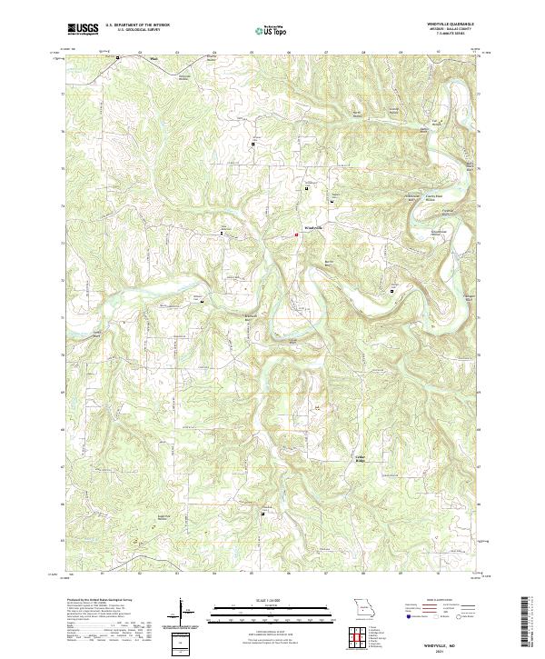
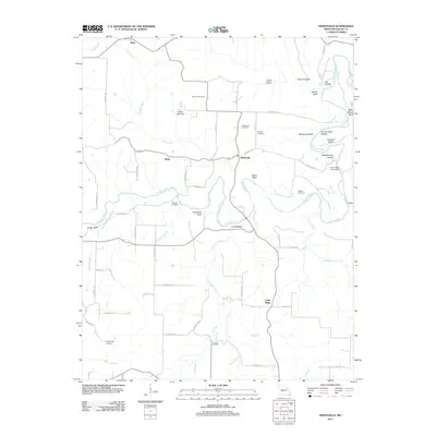
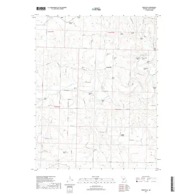
2021 Windyville
Dallas County, MO