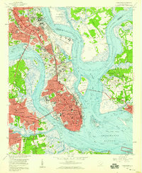
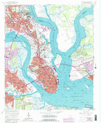
1958 Map of Charleston
USGS Topo · Published 1959About this map
Charleston is defined by its deep-water geography at the confluence of the Ashley River and Cooper River. This mid-century survey illustrates the peninsula's dense urban grid, anchored by institutions like The Citadel, the Medical College of S C, and College of Charleston. The industrial and maritime character of the era is evident in the sprawling U S Naval Reservation and the extensive network of drydocks and spoil areas lining Town Creek.
Find a feature on this map
103 named features on this map. Tap any name to fly to it.
Don’t see what you’re looking for? This feature index may not catch every label — zoom into the map to look around manually.
Map Details
Editions of this 1958 Charleston Map
5 editions found
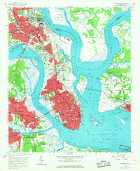
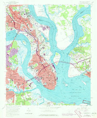
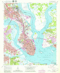
Other maps of this area

1919 · Ladson
USGS Topo · 1:21,120

1919 · Johns Island
USGS Topo · 1:21,120

1919 · The Jetties
USGS Topo · 1:21,120

1919 · Wadmelaw Island
USGS Topo · 1:62,500

1919 · Wando
USGS Topo · 1:21,120

1919 · Melgrove
USGS Topo · 1:21,120

1919 · Charleston
USGS Topo · 1:21,120

1919 · James Island
USGS Topo · 1:21,120

1919 · Fort Moultrie
USGS Topo · 1:21,120

1919 · Legareville
USGS Topo · 1:21,120
Featured Places
- Charleston, SC
- North Charleston, SC
- Mount Pleasant, SC
- Ashley Junction, North Charleston
- Daniel Jenkins Homes, North Charleston