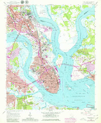
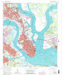
1958 Map of Charleston
USGS Topo · Published 1979About this map
Charleston and its surrounding harbor islands are captured here in a period of significant mid-century expansion, with purple overprinting indicating urban growth updated through the late 1970s. The dense historical core is flanked by the Ashley River and Cooper River, where the U S Naval Reservation and its shipyard facilities dominate the northern waterfront. Notable academic and military institutions like The Citadel and the College of Charleston are centered in the city, while the massive Magnolia Cem and Bethany Cem complexes occupy the neck between the rivers.
Find a feature on this map
95 named features on this map. Tap any name to fly to it.
Don’t see what you’re looking for? This feature index may not catch every label — zoom into the map to look around manually.
Map Details
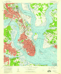
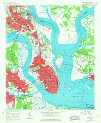
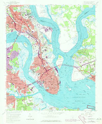
Editions of this 1958 Charleston Map
5 editions found
Other maps of this area

1919 · Ladson
USGS Topo · 1:21,120

1919 · Johns Island
USGS Topo · 1:21,120

1919 · The Jetties
USGS Topo · 1:21,120

1919 · Wadmelaw Island
USGS Topo · 1:62,500

1919 · Wando
USGS Topo · 1:21,120

1919 · Melgrove
USGS Topo · 1:21,120

1919 · Charleston
USGS Topo · 1:21,120

1919 · James Island
USGS Topo · 1:21,120

1919 · Fort Moultrie
USGS Topo · 1:21,120

1919 · Legareville
USGS Topo · 1:21,120
Featured Places
- Charleston, SC
- North Charleston, SC
- Mount Pleasant, SC
- Ashley Junction, North Charleston
- Daniel Jenkins Homes, North Charleston