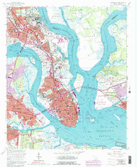
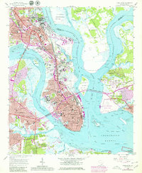
1958 Map of Charleston
USGS Topo · Published 1992About this map
Charleston and its surrounding harbor communities are depicted here at a point of significant post-war expansion. The historic peninsula, bounded by the Ashley River and Cooper River, remains the dense urban core, anchored by institutional landmarks such as The Citadel, the Medical College of S C, and the College of Charleston. To the north, the U S Naval Reservation and its extensive Drydocks signify the city's mid-century role as a vital maritime military hub. Across the water, the growing suburbs of Mount Pleasant and South Windermere are visible, connected by the Grace Memorial Bridge. This 1958 topography, with 1983 photoinspected updates, captures the city as urban development began to spread into former marshlands and timber tracts like Daniel Island and Thomas Island, while long-standing communities like Scanlonville and Maryville maintain their distinct footprints along the tidal reaches of Town Creek and the Intracoastal Waterway.
Find a feature on this map
114 named features on this map. Tap any name to fly to it.
Don’t see what you’re looking for? This feature index may not catch every label — zoom into the map to look around manually.
Map Details
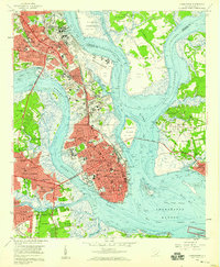
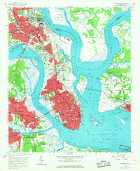
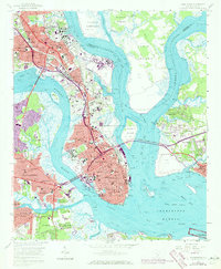
Editions of this 1958 Charleston Map
5 editions found
Other maps of this area

1919 · Ladson
USGS Topo · 1:21,120

1919 · Johns Island
USGS Topo · 1:21,120

1919 · The Jetties
USGS Topo · 1:21,120

1919 · Wadmelaw Island
USGS Topo · 1:62,500

1919 · Wando
USGS Topo · 1:21,120

1919 · Melgrove
USGS Topo · 1:21,120

1919 · Charleston
USGS Topo · 1:21,120

1919 · James Island
USGS Topo · 1:21,120

1919 · Fort Moultrie
USGS Topo · 1:21,120

1919 · Legareville
USGS Topo · 1:21,120
Featured Places
- Charleston, SC
- North Charleston, SC
- Mount Pleasant, SC
- Ashley Junction, North Charleston
- Daniel Jenkins Homes, North Charleston