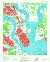
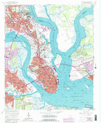
1958 Map of Charleston
USGS Topo · Published 1968About this map
The Citadel and the Medical College of SC anchor the historic peninsula, showing a city in a period of significant mid-century expansion. The urban footprint of Charleston extends northward through Charleston Heights toward the US Naval Reservation, while new suburban developments like Whipper Barony, Avondale, and South Windermere emerge across the Ashley River. This 1958 survey captures the intricate relationship between the city and its surrounding waters, from the busy industrial corridors of Shipyard Creek to the residential growth spreading toward Mount Pleasant via the Memorial Bridge.
Find a feature on this map
90 named features on this map. Tap any name to fly to it.
Don’t see what you’re looking for? This feature index may not catch every label — zoom into the map to look around manually.
Map Details
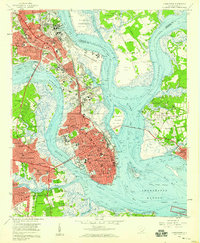
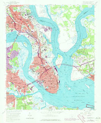
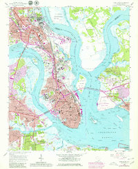
Editions of this 1958 Charleston Map
5 editions found
Other maps of this area

1919 · Ladson
USGS Topo · 1:21,120

1919 · Johns Island
USGS Topo · 1:21,120

1919 · The Jetties
USGS Topo · 1:21,120

1919 · Wadmelaw Island
USGS Topo · 1:62,500

1919 · Wando
USGS Topo · 1:21,120

1919 · Melgrove
USGS Topo · 1:21,120

1919 · Charleston
USGS Topo · 1:21,120

1919 · James Island
USGS Topo · 1:21,120

1919 · Fort Moultrie
USGS Topo · 1:21,120

1919 · Legareville
USGS Topo · 1:21,120
Featured Places
- Charleston, SC
- North Charleston, SC
- Mount Pleasant, SC
- Ashley Junction, North Charleston
- Daniel Jenkins Homes, North Charleston