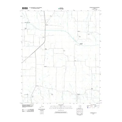
2010 Map of Charleston
USGS Topo · Published 2010About this map
Charleston and Slabtown anchor this Northeast Texas rural landscape, where the North Sulphur River winds through a patchwork of family farms and creek bottoms. This 2010 survey captures a region defined by its small, dispersed settlements like Prattville, Gadston, and Pacio, connected by a network of Farm to Market roads such as FM 198. The map is particularly dense with genealogical sites, showing numerous burial grounds including Hazel Dell Cemetery, Winfrey Cemetery, and Pierce Cemetery.
Find a feature on this map
71 named features on this map. Tap any name to fly to it.
Don’t see what you’re looking for? This feature index may not catch every label — zoom into the map to look around manually.
Map Details
Editions of this 2010 Charleston Map
This is the sole edition of this map. No revisions or reprints were ever made.
Other maps of this area

1903 · Paris
USGS Topo · 1:125,000

1948 · Paris
USGS Topo · 1:62,500

1949 · Paris
USGS Topo · 1:62,500

1953 · Texarkana
USGS Topo · 1:250,000

1956 · Texarkana
USGS Topo · 1:250,000

1962 · Sulphur Bluff
USGS Topo · 1:24,000

1963 · Minter
USGS Topo · 1:24,000

1964 · Pattonville
USGS Topo · 1:24,000

1964 · Charleston
USGS Topo · 1:24,000

1964 · Tira
USGS Topo · 1:24,000