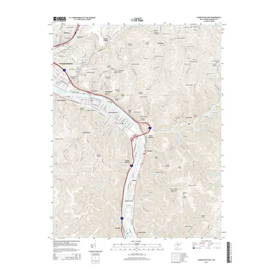
2014 Map of Charleston East
USGS Topo · Published 2014About this map
The Kanawha River corridor defines this landscape, where the state capital’s eastern expansion meets the narrow, winding hollows of the Kanawha Valley. This 2014 survey captures the dense urban and residential patterns of Charleston and Kanawha City against the steep terrain of the surrounding hills. Transport networks are central to the area's layout, anchored by the Yeager Bridge, Daniel Boone Bridge, and Kanawha City Bridge, which link the industrial and residential centers of South Malden, Rand, and Marmet.
Find a feature on this map
119 named features on this map. Tap any name to fly to it.
Don’t see what you’re looking for? This feature index may not catch every label — zoom into the map to look around manually.
Map Details
Editions of this 2014 Charleston East Map
This is the sole edition of this map. No revisions or reprints were ever made.
Other maps of this area

1897 · Kanawha Falls
USGS Topo · 1:125,000

1899 · Charleston
USGS Topo · 1:125,000

1900 · Kanawha Falls
USGS Topo · 1:125,000

1901 · Kanawha Falls
USGS Topo · 1:125,000
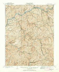
1907 · Clendenin
USGS Topo · 1:62,500
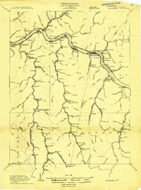
1908 · Montgomery
USGS Topo · 1:48,000
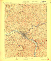
1909 · Charleston
USGS Topo · 1:62,500
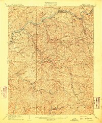
1909 · Clendenin
USGS Topo · 1:62,500
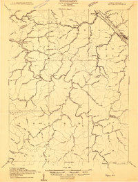
1909 · Peytona
USGS Topo · 1:48,000
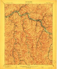
1910 · Montgomery
USGS Topo · 1:62,500