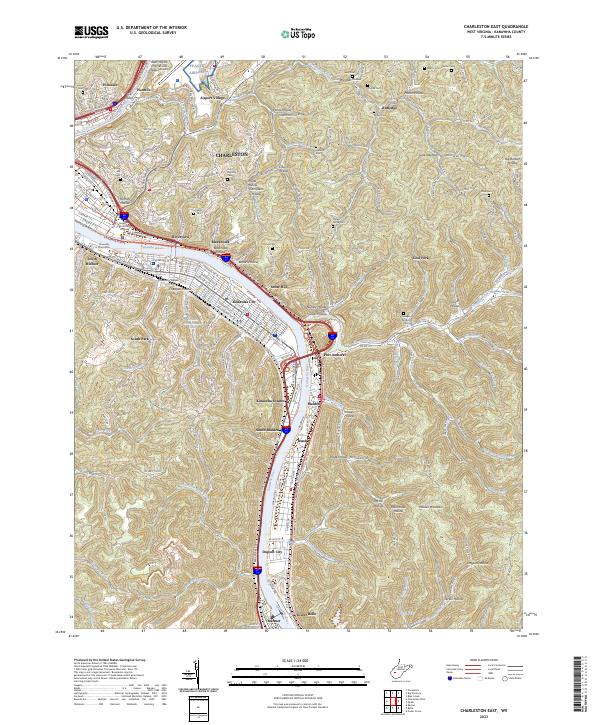
2023 Map of Charleston East
USGS Topo · Published 2023About this map
The Kanawha River serves as the central artery for this industrial and political corridor, anchoring the eastern expansion of Charleston and its surrounding riverfront communities. From the government seats at the Supreme Court of West Virginia and the academic grounds of the University of Charleston, the landscape transitions into a dense network of hollows and ridges. These narrow valleys, including Blacksnake Hollow and Brooks Hollow, dictate the footprint of settlements such as Kanawha City and Dupont City. High above the river valley, the West Virginia International Yeager Airport occupies the plateau, while the surrounding hills are dotted with small family burial grounds like the Hanson Cem and Hunt Donnally Cem, preserving the lineage of early area residents amidst the modern infrastructure of MacCorkle Ave and the Interstate system.
Find a feature on this map
93 named features on this map. Tap any name to fly to it.
Don’t see what you’re looking for? This feature index may not catch every label — zoom into the map to look around manually.
Map Details
Editions of this 2023 Charleston East Map
This is the sole edition of this map. No revisions or reprints were ever made.
Other maps of this area

1897 · Kanawha Falls
USGS Topo · 1:125,000

1899 · Charleston
USGS Topo · 1:125,000

1900 · Kanawha Falls
USGS Topo · 1:125,000

1901 · Kanawha Falls
USGS Topo · 1:125,000

1907 · Clendenin
USGS Topo · 1:62,500

1908 · Montgomery
USGS Topo · 1:48,000

1909 · Charleston
USGS Topo · 1:62,500

1909 · Clendenin
USGS Topo · 1:62,500

1909 · Peytona
USGS Topo · 1:48,000

1910 · Montgomery
USGS Topo · 1:62,500