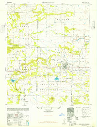
1948 Map of Charleston
USGS Topo · Published 1949About this map
Charleston serves as the focal point of this late 1940s landscape, where the Missouri Pacific railroad cuts through the terrain between Grand Ridge and Coal Ridge. The map reveals a transition in land use, showing the northern edges of the Camp Chaffee Military Reservation alongside established agricultural and social markers. Local history is deeply etched into the geography through numerous family and community sites, such as Forest Grove Church and the Rosenwall School.
Find a feature on this map
36 named features on this map. Tap any name to fly to it.
Don’t see what you’re looking for? This feature index may not catch every label — zoom into the map to look around manually.
Map Details
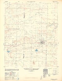
Editions of this 1948 Charleston Map
2 editions found
Other maps of this area

1887 · Magazine Mountain #2
USGS Topo · 1:62,500

1887 · Magazine Mountain #3
USGS Topo · 1:62,500

1887 · Magazine Mountain
USGS Topo · 1:62,500

1890 · Magazine Mountain
USGS Topo · 1:125,000

1890 · Fort Smith
USGS Topo · 1:125,000

1906 · Lavaca
USGS Topo · 1:62,500

1906 · Barber
USGS Topo · 1:62,500

1934 · Booneville
USGS Topo · 1:48,000

1939 · Booneville
USGS Topo · 1:62,500

1943 · Fort Smith
USGS Topo · 1:125,000