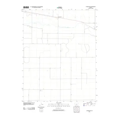
2009 Map of Charleston
USGS Topo · Published 2009About this map
Arkansas River waters cut through the northern portion of this Gray County landscape, where the small settlement of Charleston sits just north of the riverbank. This 2009 survey illustrates the characteristic grid-pattern development of the Kansas High Plains, dominated by a vast network of county roads such as Co Rd 5, Co Rd 9, and Co Rd 4. The landscape is defined by its rectilinear organization, with alphabetical and numerical routes like M Rd and N Rd segmenting the territory into precise sections. This systematic division of land reflects the enduring influence of the Public Land Survey System on the agricultural and transit patterns of Western Kansas, providing a clear view of the region's rural infrastructure at the start of the 21st century.
Find a feature on this map
15 named features on this map. Tap any name to fly to it.
Don’t see what you’re looking for? This feature index may not catch every label — zoom into the map to look around manually.
Map Details
Editions of this 2009 Charleston Map
This is the sole edition of this map. No revisions or reprints were ever made.
Other maps of this area

1892 · Dodge
USGS Topo · 1:125,000

1896 · Garden
USGS Topo · 1:125,000

1955 · Dodge City
USGS Topo · 1:250,000

1958 · Dodge City
USGS Topo · 1:250,000

1959 · Dodge City
USGS Topo · 1:250,000

1967 · Pierceville SW
USGS Topo · 1:24,000

1967 · Pierceville
USGS Topo · 1:24,000

1968 · Cimarron NW
USGS Topo · 1:24,000

1968 · Ingalls
USGS Topo · 1:24,000

1968 · Montezuma NW
USGS Topo · 1:24,000