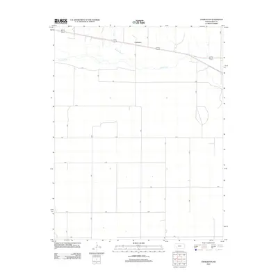
2012 Map of Charleston
USGS Topo · Published 2012About this map
Arkansas River flows through this section of the High Plains, carving a path across a landscape defined by the rigid geometry of the Public Land Survey System. The small community of Charleston sits north of the river, positioned along the primary east-west corridor of 50 400. This modern survey illustrates the enduring nature of the region's agricultural framework, where a vast network of section-line roads like K Rd, M Rd, and R Rd provide access to the expansive fields of Gray County. The transition from the river valley to the surrounding uplands is subtle, yet the map clearly delineates the critical relationship between the water source and the historical development of settlements and transportation routes in this part of western Kansas.
Find a feature on this map
19 named features on this map. Tap any name to fly to it.
Don’t see what you’re looking for? This feature index may not catch every label — zoom into the map to look around manually.
Map Details
Editions of this 2012 Charleston Map
This is the sole edition of this map. No revisions or reprints were ever made.
Other maps of this area

1892 · Dodge
USGS Topo · 1:125,000

1896 · Garden
USGS Topo · 1:125,000

1955 · Dodge City
USGS Topo · 1:250,000

1958 · Dodge City
USGS Topo · 1:250,000

1959 · Dodge City
USGS Topo · 1:250,000

1967 · Pierceville SW
USGS Topo · 1:24,000

1967 · Pierceville
USGS Topo · 1:24,000

1968 · Cimarron NW
USGS Topo · 1:24,000

1968 · Ingalls
USGS Topo · 1:24,000

1968 · Montezuma NW
USGS Topo · 1:24,000